

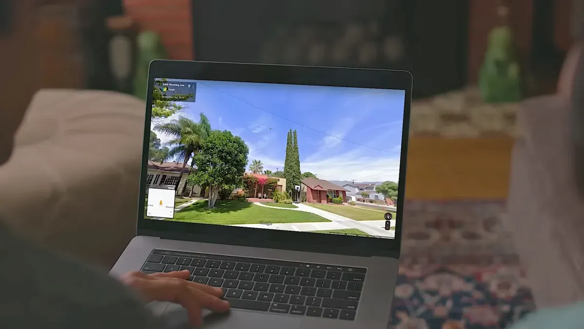
Google Maps has helped people navigate since 2005. Over time, it has collected a lot of information about the world. This includes business hours and country borders.
Google Maps also has satellite images and ground-level views from Street View. You might have used Street View to see what a street looks like from the sidewalk. But you can also use Street View to look at past images. Some places go back to 2007, when the technology first started.
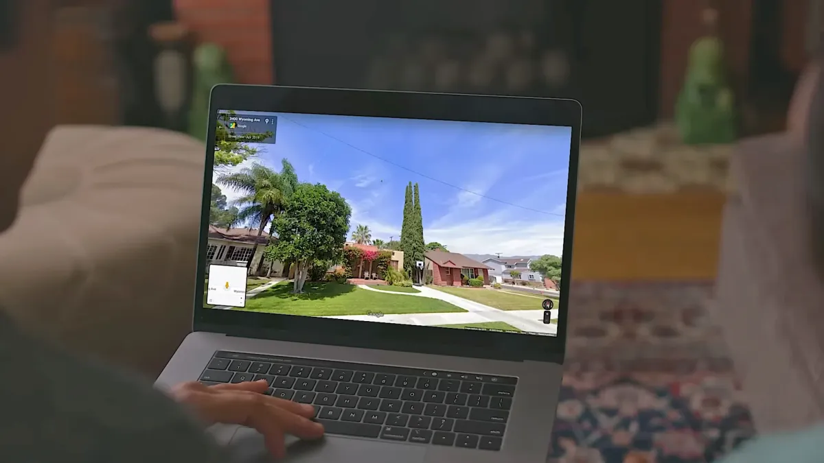
This means you can see how your neighborhood, or any other, has changed over nearly two decades. You can explore famous places like Times Square or the Arc de Triomphe.
We're a new kind of news feed.
Regular news is designed to drain you. We're a non-profit built to restore you. Every story we publish is scored for impact, progress, and hope.
Start Your News DetoxHow to Use Street View Time Travel
It's easier to use this feature on a computer with Google Maps. You have more screen space to work with.
First, go to the area you want to see. You can scroll around or use the search box in the top left.
Look for the little "pegman" icon in the bottom left corner. Click and drag this pegman onto the map. Roads that have Street View will light up in blue. Drop the pegman on the spot you want to view.
You will then enter Street View mode, seeing ground-level images. Use your mouse or arrow keys to look around. You can also move up and down the street.
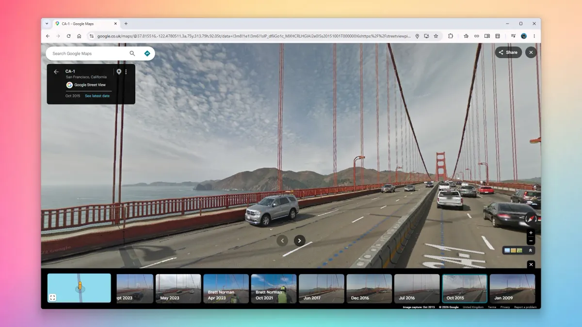
To go back in time, click "See more dates" in the top left corner. At the bottom of the screen, you will see small pictures of older images with dates. Scroll right to find the oldest available pictures.
The number of dates and years available depends on how long Google's Street View cars have been in that area. It also depends on how often they have returned. The historical coverage can vary a lot depending on the location.
Exploring Past Neighborhoods
When you pick an older image, Street View will show you that year. You can still look around and explore as usual. The views will be from the year you selected. You can change the month and date using the options at the bottom.
This feature lets you see how businesses and homes have changed. In some places, you can even watch roads or buildings being constructed or torn down. For busy areas, you can see how fashion for people and cars has evolved.
You can also use this to see famous landmarks. However, iconic places usually don't change much. To return to the current day, click "See latest date" in the top left corner.
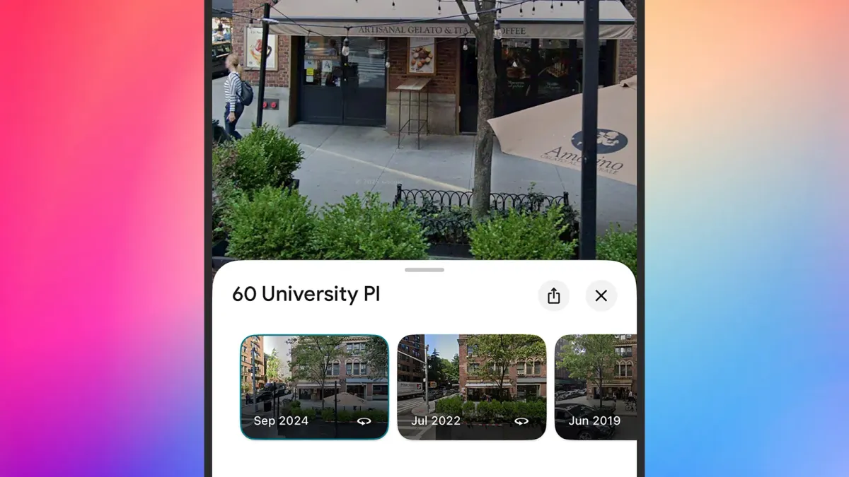
You can also use Street View time travel on the Google Maps apps for Android and iOS. To do this, long-press on a road on the map. Then tap the Street View picture that appears in the lower left. You can then tap the date label in the top left to find other dates.
Historical images are also available in Google Earth. This includes both Street View and satellite maps. You can drag the pegman from the bottom right and choose "See more dates." Or, click the historical imagery button in the top toolbar. It looks like a globe with an arrow around it.