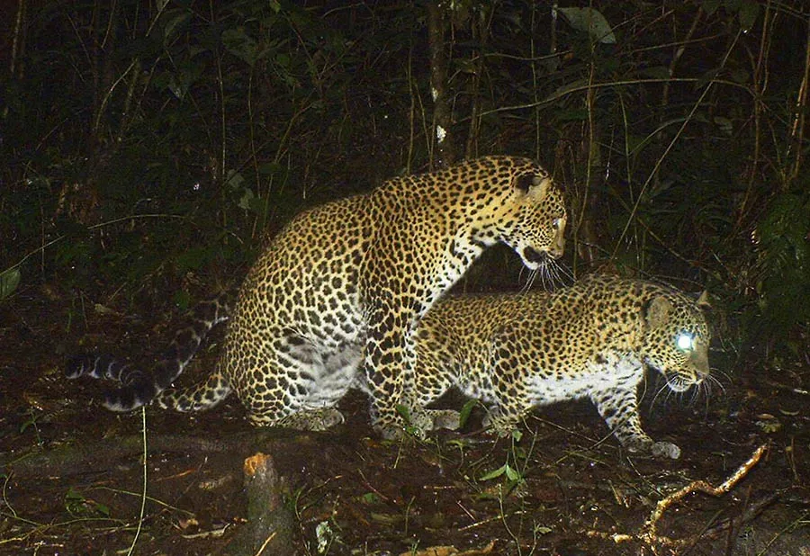
When it comes to protecting a patch of nature, what exactly are we looking at? To a satellite, a forest is just a big green blob. But to the people who actually live there, that "blob" is a pantry, a pharmacy, a school bus route, and maybe even a sacred cemetery. It’s also, quite possibly, a place where conservation patrols have become a bit of a headache.
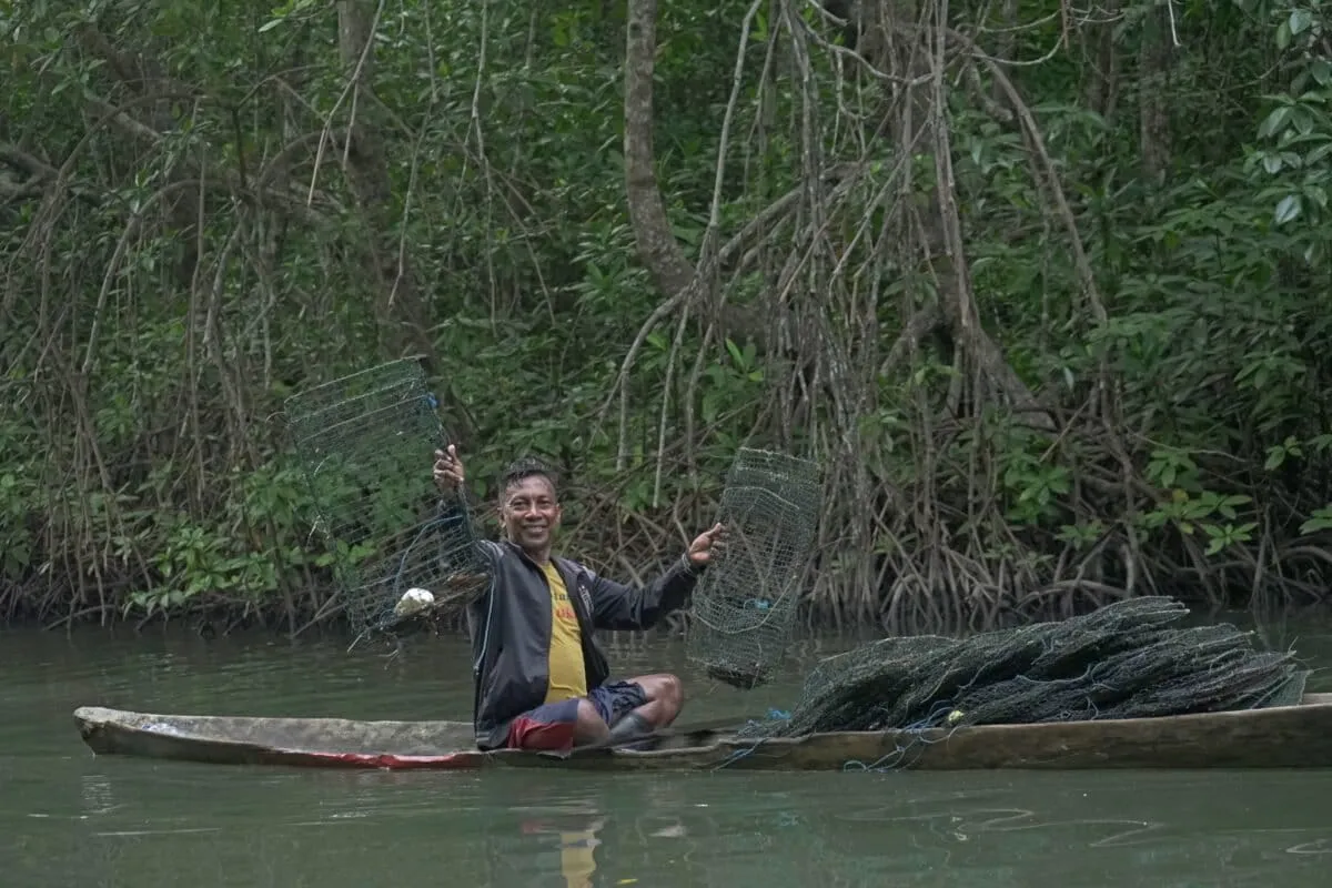
Same goes for a coral reef. Scientists might chart its coral cover and fish numbers. Fishers, however, map it by its shifting currents, seasonal spawning grounds, and generations of unspoken rules. They know where the good spots are, and where the arguments usually happen.
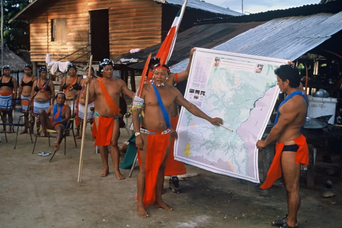
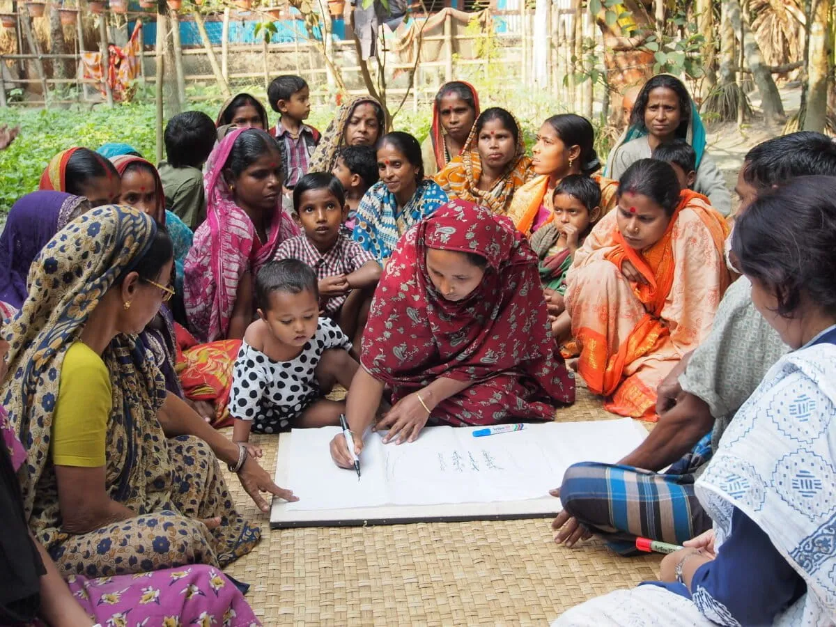
Conservation planning increasingly relies on maps. And a new study in Conservation Science and Practice by Michael Kowalski and his team dives into a fascinating solution: participatory mapping. It’s exactly what it sounds like: getting everyone in the room to draw the map.
We're a new kind of news feed.
Regular news is designed to drain you. We're a non-profit built to restore you. Every story we publish is scored for impact, progress, and hope.
Start Your News DetoxDrawing the Line, Together
Participatory mapping is a joint venture. Local communities and professional mapmakers join forces to create maps that reflect local knowledge, experiences, and preferences for a particular place. Think of it as combining the view from space with the view from your front porch.
The review crunched data from 398 studies, highlighting how this method is being used around the globe. But it also flagged a crucial oversight: even though the whole point is to center community knowledge, there aren't many clear guidelines on how to actually collect, interpret, protect, and then use this often-sensitive information. Because, as anyone who’s ever tried to draw a map of their own neighborhood knows, there’s a lot more to it than just roads and buildings.
Historically, conservation maps were drawn from a distance. Satellite images, expert surveys, and official government lines were the gold standard. And those tools are definitely important — they can show things like massive deforestation or widespread coral bleaching over vast areas. But they miss the trees for the forest, quite literally. They miss the stories, the livelihoods, and the sacred spots that make a place truly matter to the people who call it home.
Turns out, if you want to save a place, it helps to know what it actually means to someone. And sometimes, the best cartographer is the person who's been walking the land for generations.