Every day, satellites beam down terabytes of information about Earth's forests, wetlands, and coastlines. The problem: scientists were spending months wading through it all to find patterns that mattered. Now there's a shortcut.
OlmoEarth, launched in November by the Allen Institute of AI, is an open-source platform that does the heavy lifting. It's trained on roughly 10 terabytes of environmental observation data—satellite imagery, sensor readings, the works—and lets researchers ask questions without building models from scratch. Want to track forest loss in a specific region? Monitor mangrove health? The platform handles the technical scaffolding. You bring your own data, customize the AI to your landscape, and get answers.
"It's intended to democratize access to this kind of technology in a no-code kind of way," said Patrick Beukema, who leads the OlmoEarth project at Ai2. The phrase "no-code" matters here. This isn't a tool for machine learning specialists. It's designed for conservation organizations, field researchers, and local environmental groups who have urgent questions but limited technical infrastructure.
We're a new kind of news feed.
Regular news is designed to drain you. We're a non-profit built to restore you. Every story we publish is scored for impact, progress, and hope.
Start Your News DetoxThe shift is dramatic. Ted Schmitt, senior director of conservation at Ai2, describes the original problem: scientists were losing months to data processing before they could even begin answering their actual research questions. "What we set out to do was flip that on its head and really go from them spending months to literally days to get the same sort of information," he said.
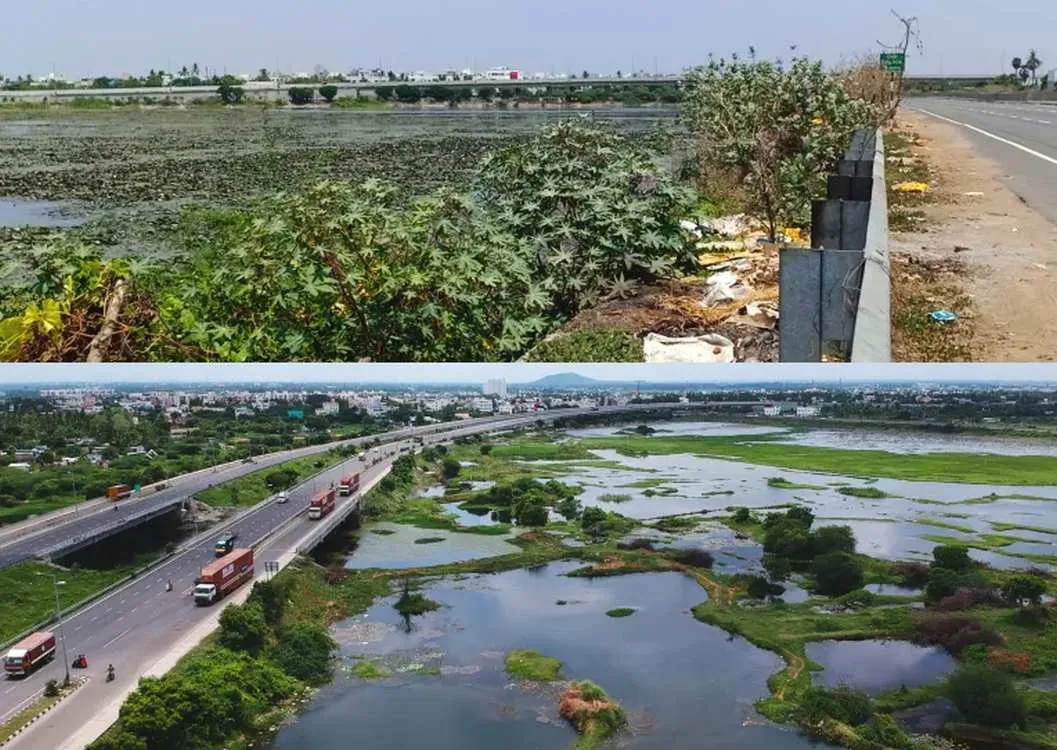
That acceleration matters in real time. A nonprofit tracking illegal deforestation can now spot patterns in weeks instead of waiting for a full season of analysis. A coastal conservation group monitoring mangrove recovery after a storm has actionable data while the response is still unfolding, not after the moment has passed.
The open-source approach is deliberate. By making the platform freely available, Ai2 is betting that conservation gains more from distributed problem-solving than from gatekeeping. A research team in Southeast Asia can adapt the models to their specific forest types. A West African organization can train it on their regional satellite data. The technology spreads faster, gets tested in more contexts, and improves with each new use case.
This is the kind of infrastructure shift that compounds quietly. One platform, well-designed and freely available, can reshape how dozens of organizations approach environmental monitoring. The bottleneck moves from "can we process this data" to "what questions should we ask."