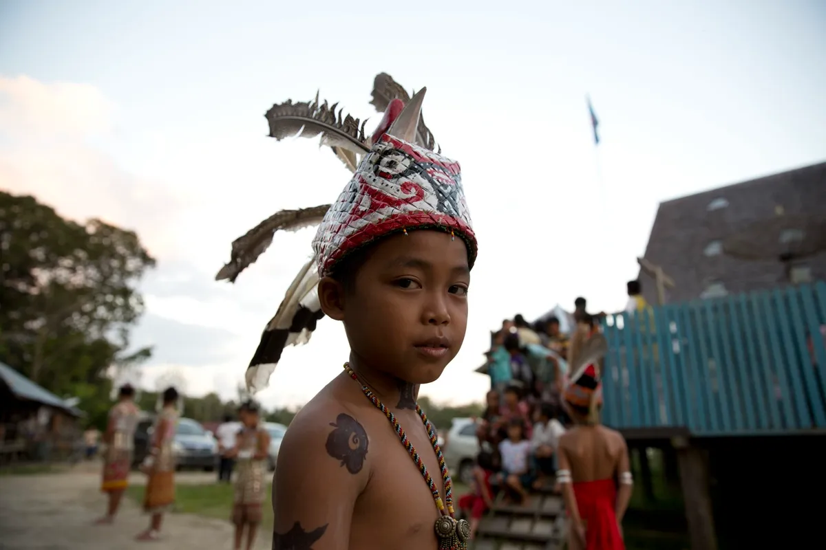

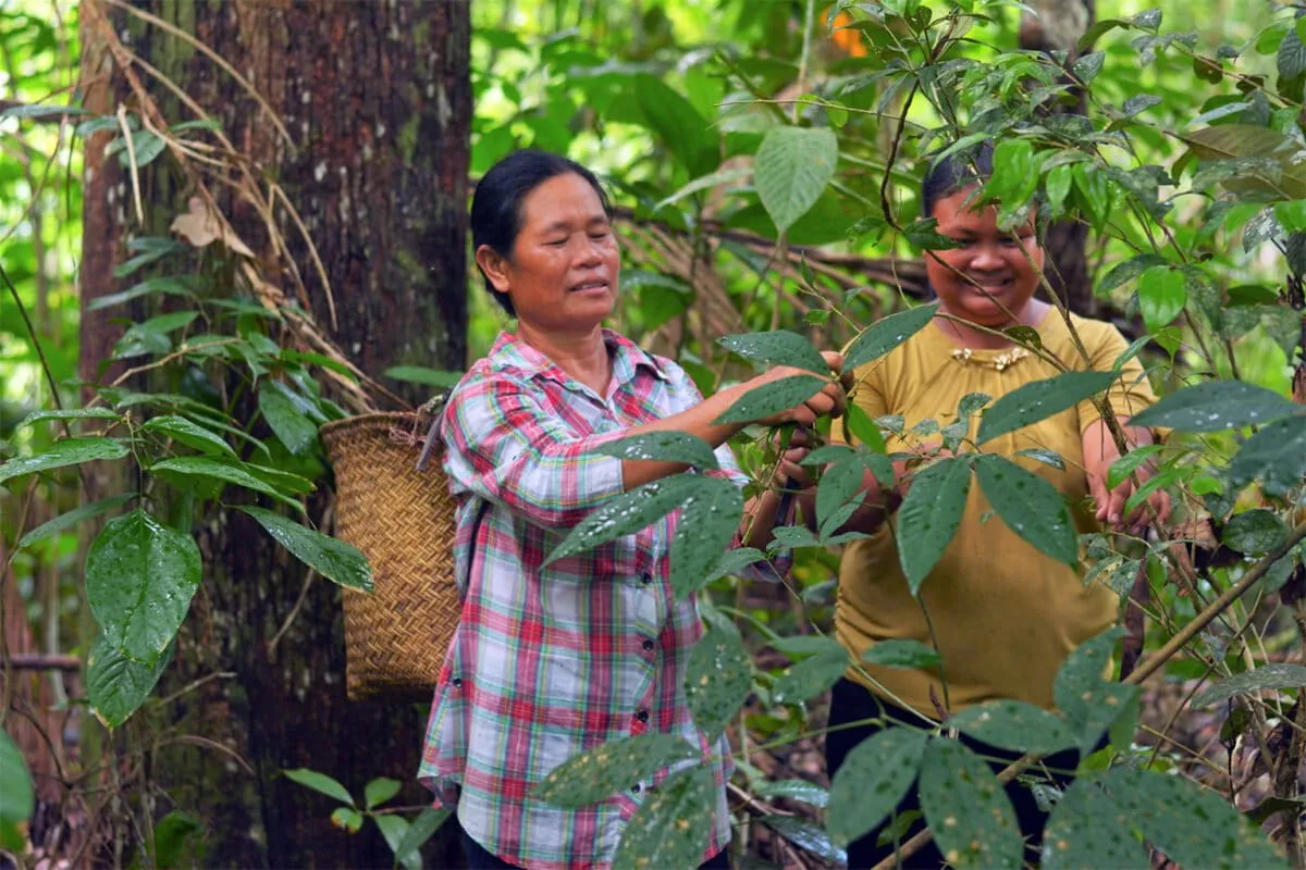
For generations, Indigenous communities in Indonesia have faced a peculiar bureaucratic challenge: their land and cultural data was scattered across so many different groups it was practically invisible to the official mapmakers. Imagine trying to prove you own your backyard when half the paperwork is at your neighbor's house and the other half is at the post office. It made getting their ancestral lands officially recognized a Herculean task.
But now, Indonesia's government is finally wrangling all that dispersed data into one coherent, digital whole. They're combining information from the Ministry of Culture, the Ancestral Domain Registration Agency (BRWA), and AMAN — a massive alliance of Indigenous peoples. The result? A comprehensive dataset covering a staggering 3,857 Indigenous communities. Let that satisfying number sink in.

From Invisible to Indisputable
The goal is simple: better policies, stronger protections. But the BRWA sees an even bigger win. For the first time, maps of customary territories — the ancestral lands and linguistic regions that have been home to these communities for centuries — could become an official part of the government's geospatial data. This means these lands would finally show up in spatial planning and permitting processes, moving them from the realm of oral tradition to official, undeniable fact.
We're a new kind of news feed.
Regular news is designed to drain you. We're a non-profit built to restore you. Every story we publish is scored for impact, progress, and hope.
Start Your News DetoxThe BRWA, for its part, was founded way back in 2010 by Indigenous and civil society groups precisely because the government was dragging its feet on recognizing these lands. They took matters into their own hands, documenting territories block by painstaking block.
This new, integrated dataset officially launched on August 19 in Jakarta. Before this digital house-cleaning, even tiny discrepancies between different datasets meant thousands of hectares of land simply vanished from official consideration. Now, with a unified picture, it's a lot harder to accidentally (or conveniently) overlook an entire ancestral forest. Which, if you think about it, is both impressive and a little bit overdue.