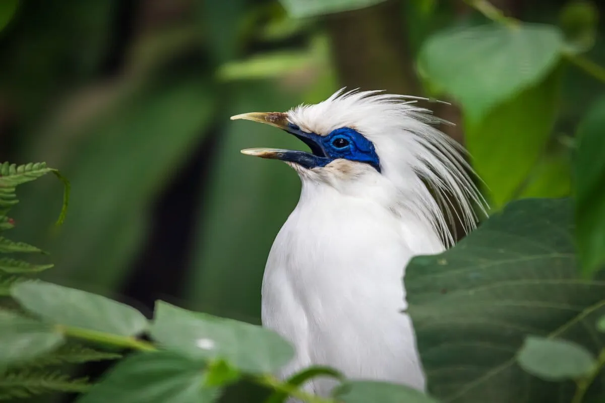
Rüppell's vultures have vanished from 90% of their former range in just four decades. Finding the birds that remain—scattered across millions of square kilometers of African wilderness—has been nearly impossible. Until now, conservationists had no systematic way to locate breeding colonies before they disappeared entirely.
Then a Bulgarian ornithologist realized the vultures were leaving a calling card visible from space: their droppings.
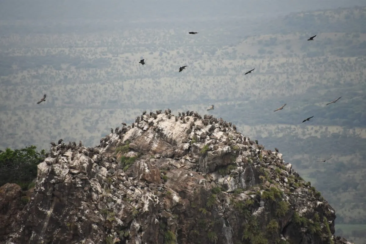
Like other cliff-nesting birds, Rüppell's vultures coat the rock faces below their nests with thick white deposits. These whitewash marks are distinctive enough to spot in satellite imagery. Ivaylo Angelov and his team used this insight to scan over six million square kilometers of mountainous terrain across seven African countries, looking for high cliff faces and cross-referencing them with historical bird records. The result: 232 previously unknown nesting sites, most concentrated in Sudan, South Sudan, and Chad, with others in the Central African Republic, Eritrea, Ethiopia, and Somalia.
We're a new kind of news feed.
Regular news is designed to drain you. We're a non-profit built to restore you. Every story we publish is scored for impact, progress, and hope.
Start Your News DetoxThis matters because the species is now critically endangered, and conservationists can't protect what they can't find. These newly mapped colonies represent potential strongholds—places where the birds might still be breeding, where poaching can be monitored, where local communities can be engaged in protection efforts. The approach is also remarkably efficient: Angelov's team accomplished in weeks what would have taken months or years of on-the-ground surveys across some of Africa's most remote and challenging terrain.
Why This Works (and Why It Matters)
The real innovation here isn't the satellite technology itself—those tools have existed for years. It's the elegant simplicity of the method. By using a visible biological marker rather than trying to track individual birds or predict habitat, Angelov's team found a workaround to one of conservation's hardest problems: scale. Africa's vulture crisis spans an entire continent. Traditional field surveys can't keep pace. But satellite imagery is free, accessible, and scalable. One person with a computer can now do the work of dozens of field researchers.
The findings also reveal something important about where these birds are holding on: the Sahel region and East African highlands, areas where human populations are lower and cliff habitat remains relatively intact. This geographic pattern will help conservationists prioritize where to focus limited resources.
There's also a broader lesson embedded in this work. As species populations collapse, we need new tools to track what's left before it's gone. Remote sensing—reading the landscape for signs of life—is becoming essential conservation infrastructure. Other researchers are already applying similar methods to track everything from forest elephants to nesting sea turtles.
The next phase is the harder one: using these coordinates to actually protect the colonies. That means working with governments, local communities, and anti-poaching networks in some of the world's most fragile regions. But at least now conservationists know where the vultures are. That's the first step toward bringing them back.