
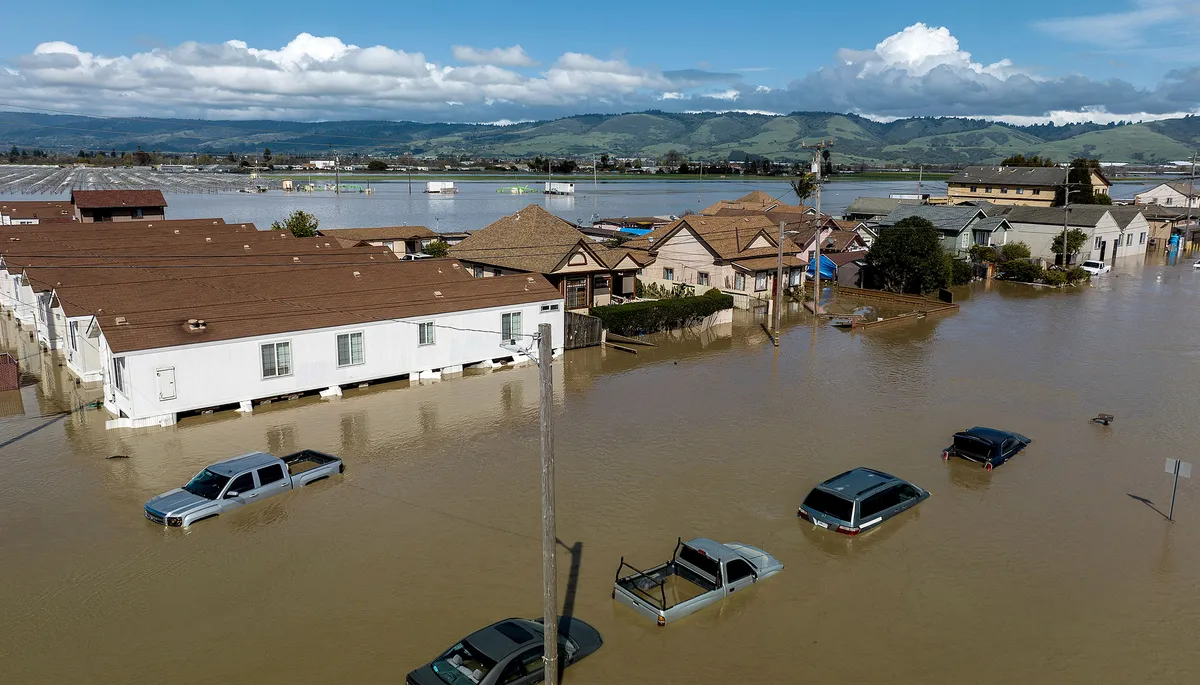
In March 2023, a levee broke on the Pajaro River, flooding the town of Pajaro, California. This event highlighted the growing flood risk in California, where about 1.4 million people live in high-risk areas. Climate change is making this problem worse.
Understanding flood risk can be hard for residents and leaders. Maps might show a high-risk area, but they don't always explain what a flood would actually look like or how different solutions might help.
Digital Twins Offer a New View of Flood Risk
UC Berkeley researchers are working on a project to use "digital twins" to help people understand and manage flood risk better. A digital twin is a detailed virtual model of a real-world system. It can update in real time to show how its physical twin behaves.
We're a new kind of news feed.
Regular news is designed to drain you. We're a non-profit built to restore you. Every story we publish is scored for impact, progress, and hope.
Start Your News DetoxAnna Serra-Llobet, a senior scientist at the Berkeley Center for Smart Infrastructure, noted that digital twins are changing how we think about risk. The team is building a digital twin of Watsonville and Pajaro, two farmworking communities in Central California. These towns have seen five major floods since the Pajaro River levee system was built in 1949. The March 2023 flood caused about $300 million in damage.
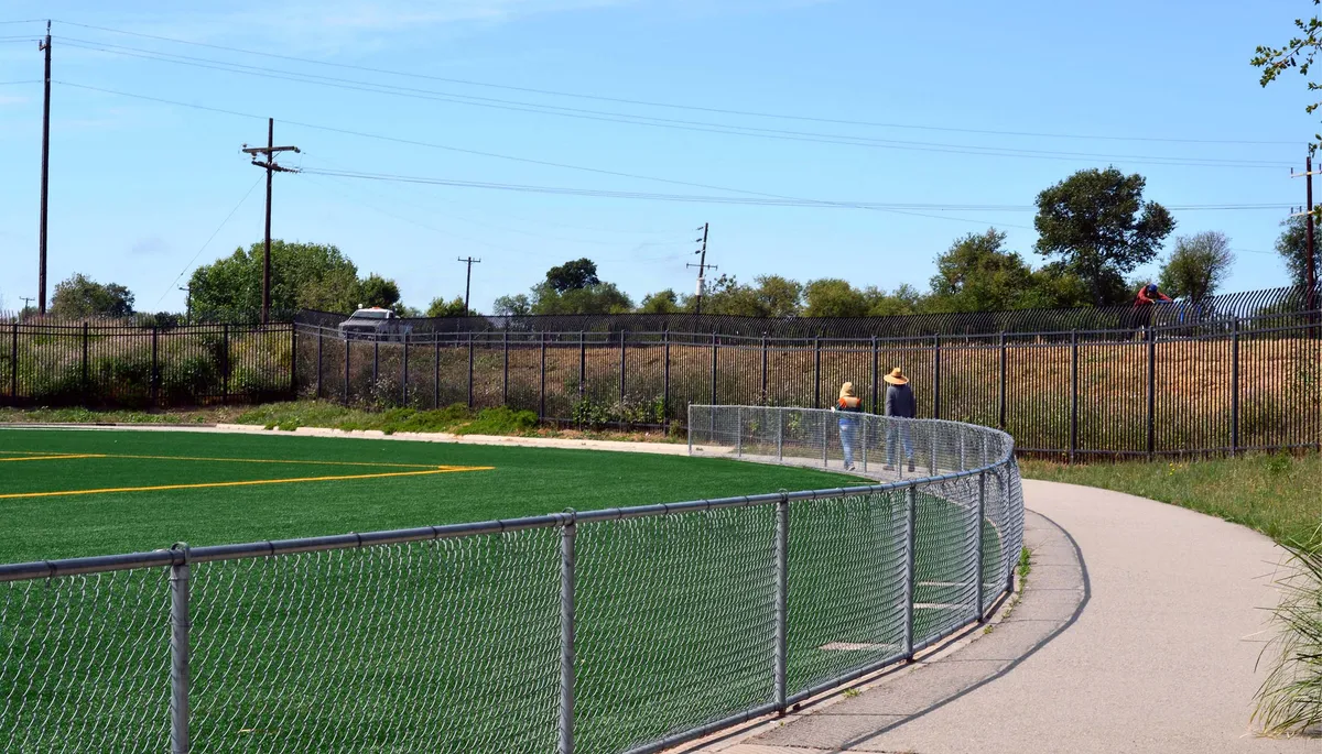
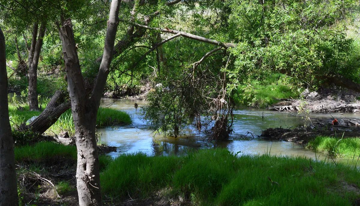
The levee system protecting Watsonville and Pajaro is finally getting a big upgrade. Berkeley researchers are working with the Pajaro Regional Flood Management Agency to create a digital twin of the Lower Pajaro River Watershed, including the new levee system. This project uses special software called scenarify, developed by the Vienna Research Center for Visual Computing (VRVis GmbH). If successful, this method could be used in other flood-prone areas in California. It will be the first flood risk digital twin in the U.S. using this software.
Integrating Ecology, Climate, and Equity
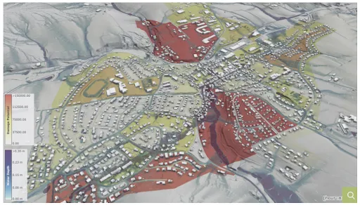
The Berkeley team wants to use this digital twin technology in California. They also want to include climate risk, environmental factors, and social fairness in these simulations. Serra-Llobet explained that traditional flood maps only show a flat hazard area. A digital twin, however, can show potential flooding in three dimensions and how things change over time.
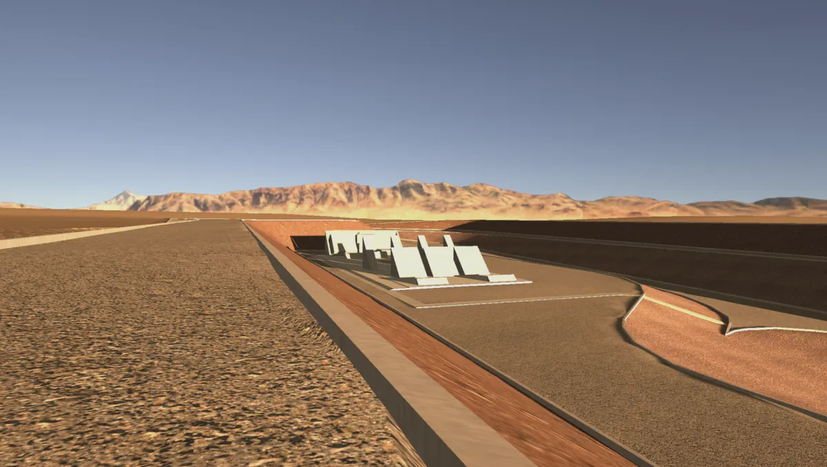
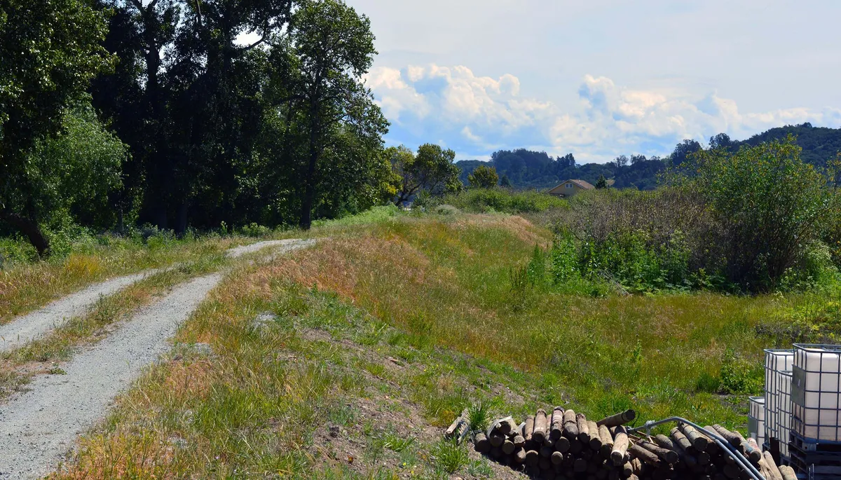
For example, "setback levees" are moved farther back from a river. This allows floodplains to be partly restored. These levees can reduce flood risk and offer ecological benefits, like boosting groundwater and creating new wetland habitats. They can also create space for parks. However, moving a levee might displace communities that are already vulnerable.
A digital twin could show all these factors, making the pros and cons of different scenarios clearer. Serra-Llobet noted that it's hard for communities to understand flood maps and social vulnerability maps. The team hopes digital twins can help translate this information into action.
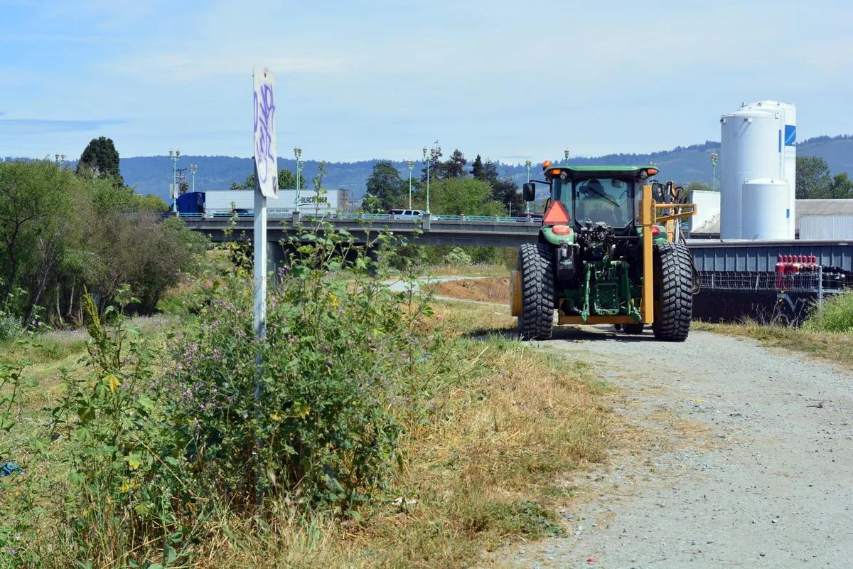
Digital twins, combined with sensing systems, can also monitor levees and other infrastructure as they age and face stress. Kenichi Soga, a professor at Berkeley, said this can help assess what's happening and understand how infrastructure behaves.
The Pajaro River Case Study
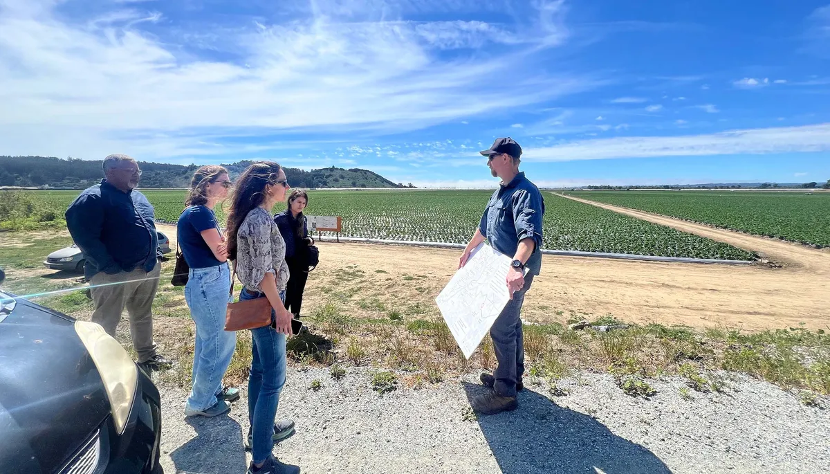
On March 11, 2023, the Pajaro River breached its levees. Water quickly flooded strawberry fields and then homes. Mark Strudley, executive director of the Pajaro Regional Flood Management Agency, said people woke up to water in their houses. The entire community of 2,800 people was submerged. Hundreds needed rescue, and over 200 homes were affected. The flooding also damaged strawberry farms, hurting the local economy.
Congress approved new levees for the Pajaro River in 1966, but the project was delayed for decades. This was because property values in the area were low compared to the cost of flood protection, giving the project a low cost-benefit ratio. The Pajaro Regional Flood Management Agency formed in 2021 to overcome these issues. Construction on a new levee system finally began in 2025.
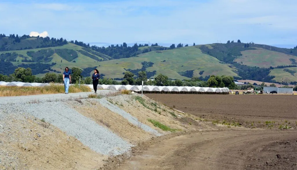
The new system will protect Watsonville and Pajaro from 100-year floods. It will also provide a mix of 100-year and 25-year flood protection for other nearby areas. The project includes setback levees to increase flow capacity and restore floodplains and wetlands.
The team chose the Pajaro River as a case study because of their existing expertise and connections to the community. The region also has a complex history that makes it a good example for integrating fairness and community involvement into flood risk management. Serra-Llobet emphasized that risk is a process, not just a map. Climate change, aging infrastructure, and urbanization are all changing flood patterns. Digital twins can help bring all these systems together.