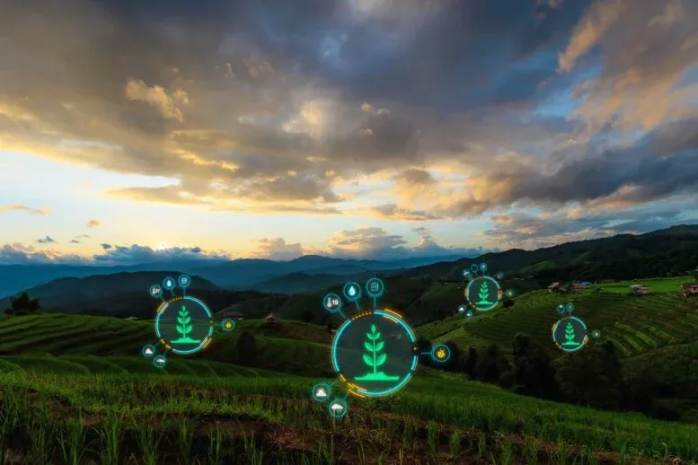
Imagine a Google Maps for farming, but it tells you exactly how climate change will hit your crops. That's essentially what a new tool, the Atlas of Climate Adaptation in South Asian Agriculture (ACASA), is doing for farmers in countries like India, Bangladesh, Nepal, and Sri Lanka.

Developed by the International Maize and Wheat Improvement Center (CIMMYT) and the Borlaug Institute for South Asia (BISA), this digital atlas maps out climate risks down to the village level. It's not just showing problems; it's also suggesting smart ways to adapt.
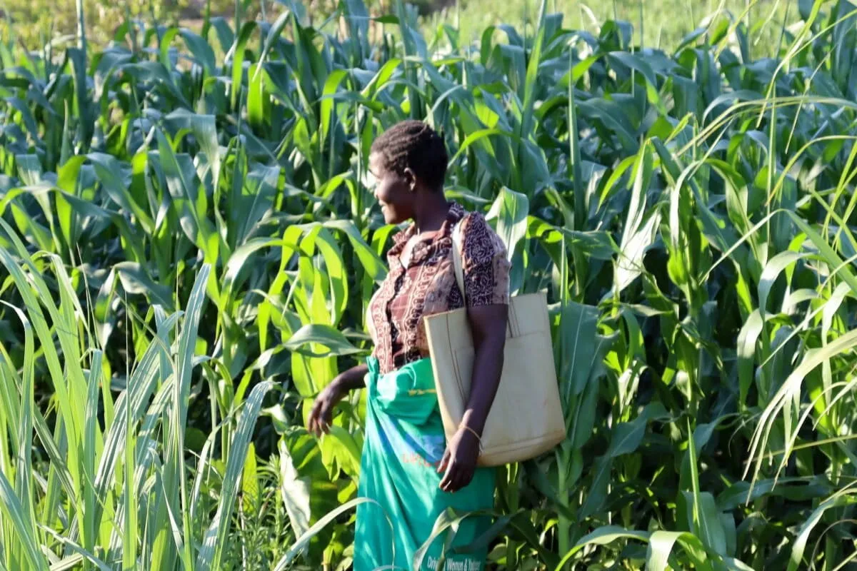
This means farmers and local leaders can make much better decisions. They can see exactly where heat stress will hit, or which areas might face unusual rainfall. Then, they get ideas for what to plant or how to manage their land.
We're a new kind of news feed.
Regular news is designed to drain you. We're a non-profit built to restore you. Every story we publish is scored for impact, progress, and hope.
Start Your News Detox
Pinpointing Risks, Finding Solutions

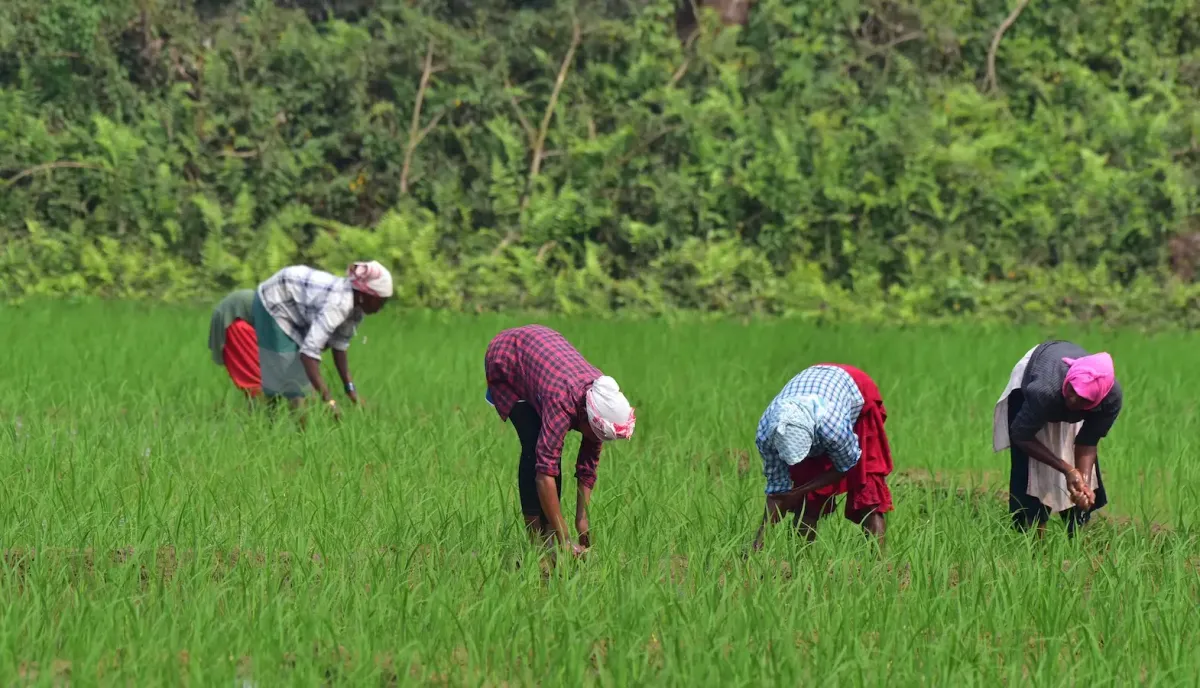
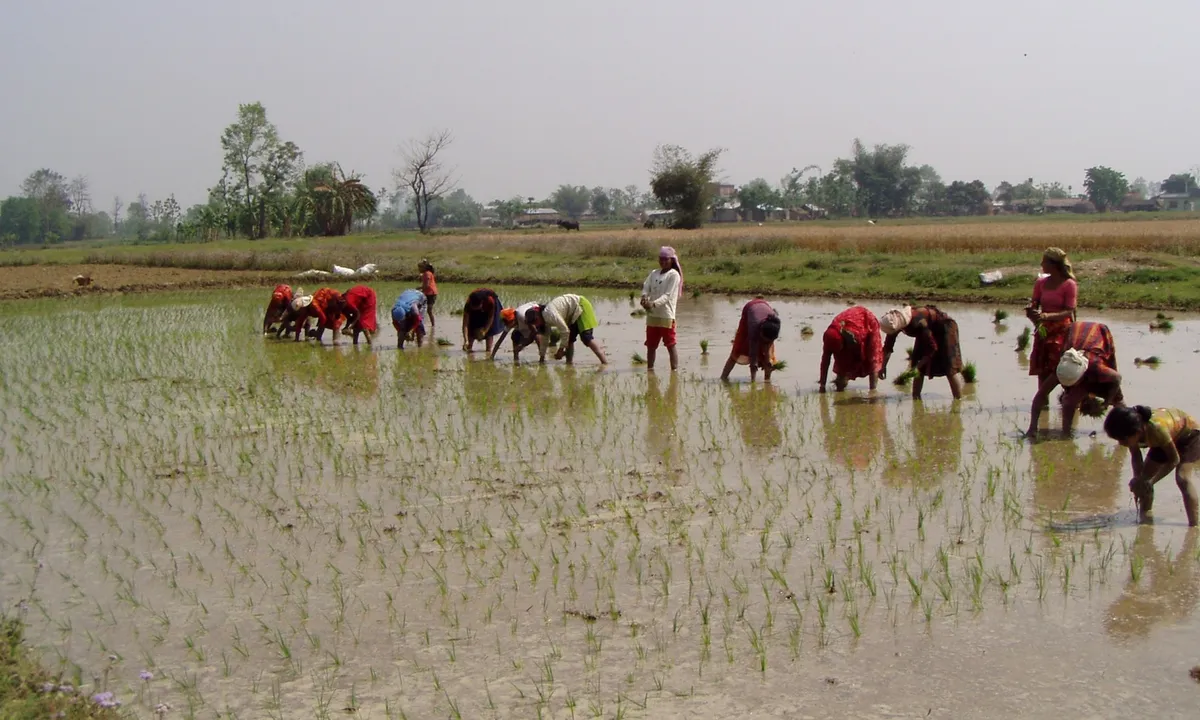
The ACASA tool covers 15 different crops and six types of livestock. It identifies specific threats like extreme heat, unexpected cold snaps, droughts, and even too much rain. Think about it: over the last 20 years, more than half of all people in South Asia have felt the impact of a climate-related disaster.
This level of detail is huge. Governments can use the maps to figure out where to invest money to protect farms. Banks can even design special loans for women farmers in vulnerable areas. It's all about making sure resources go where they're needed most.
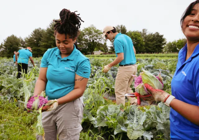
Small farmers often don't have access to irrigation or insurance. They really need this kind of specific, timely information. The atlas helps them prepare for things like short floods that ruin crops or long dry spells that damage soil.

It's a clever way to put powerful data into the hands of the people who need it most, helping them grow food even as the climate shifts around them.