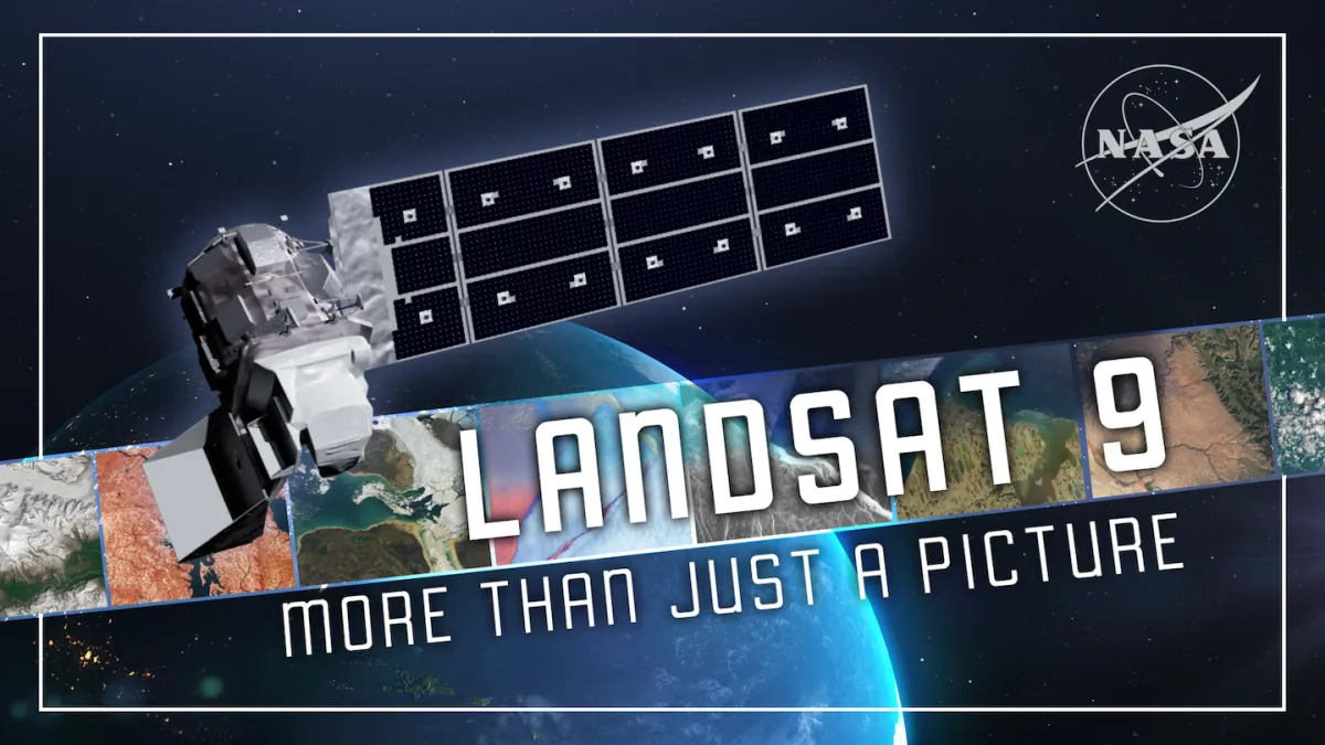
For over half a century, the same satellite program has been watching Earth change. Landsat 9, launched in 2021, is the latest in a line stretching back to 1972 — and it's seeing more detail than ever before.
That matters because a satellite watching the same planet every eight days isn't just collecting pretty pictures. It's building an archive. Scientists use it to track when crops fail, where wildfires spread, how glaciers shrink, and when algal blooms poison water supplies. The longer the record, the clearer the pattern.
What's Different This Time
Landsat 9 collects more scenes per day than any previous Landsat satellite — as many daily as Landsats 5 and 7 combined. Paired with Landsat 8, the two now gather nearly 1,500 scenes a day, mapping the entire planet's land surface every eight days. That's not incremental improvement. That's a tempo shift.
We're a new kind of news feed.
Regular news is designed to drain you. We're a non-profit built to restore you. Every story we publish is scored for impact, progress, and hope.
Start Your News DetoxThe real leap is in what the satellite can actually see. Landsat 9 upgraded its radiometric resolution from 12-bit to 14-bit — think of it as moving from a box of 4,000 crayons to 16,000. Every shade is captured. Over snow and ice, this matters enormously. Subtle shifts in glacial extent, shifts in how surfaces reflect light, even the birth of glacial lakes where ice used to be — these details used to blur together. Now they don't.
The satellite also has a stronger signal-to-noise ratio, which means less interference in the data. Over dark surfaces like water, this clarity reveals harmful algal blooms faster and more reliably — giving communities actual time to respond before blooms spread.
But Landsat 9 does something earlier satellites couldn't: it works at night. Its thermal sensor measures surface heat in darkness, letting scientists track urban heat islands, volcanic activity, and water temperature when the sun is gone. Since 2022, the U.S. Geological Survey has used this capability to monitor polar regions year-round — including during the six-month polar night when the sun doesn't rise at all. Scientists can now detect meltwater, cracks, and open water within ice under low light, tracking ice dynamics even in darkness.
Working Together
Landsat 9 isn't alone. NASA's Harmonized Landsat Sentinel-2 project fuses data from Landsats 8 and 9 with the European Space Agency's Sentinel-2 satellites into a single, consistent record. The result is near-daily global observations at 30-meter resolution — sharper and more frequent than either system could manage alone. Landsat 9's radiometric precision and calibrated data anchor this collaboration, ensuring the fused product maintains scientific integrity across decades.
This is a shift in how Earth observation works. Different satellite systems, different countries, one unified view.
The Long View
Landsat 9 isn't just flying today's mission. Through the Sustainable Land Imaging program, NASA and the U.S. Geological Survey are building the technology, partnerships, and planning to keep this record unbroken for decades. Landsat 9 is the first mission under this framework, setting the benchmark for what works and guiding the innovations that follow.
Four years in, Landsat 9 has captured millions of scenes. It's strengthened the world's longest Earth-observation record — one that now spans more than 50 years without a break. That continuity is the point. A single year of data tells you what happened. Fifty years of data tells you what's changing.