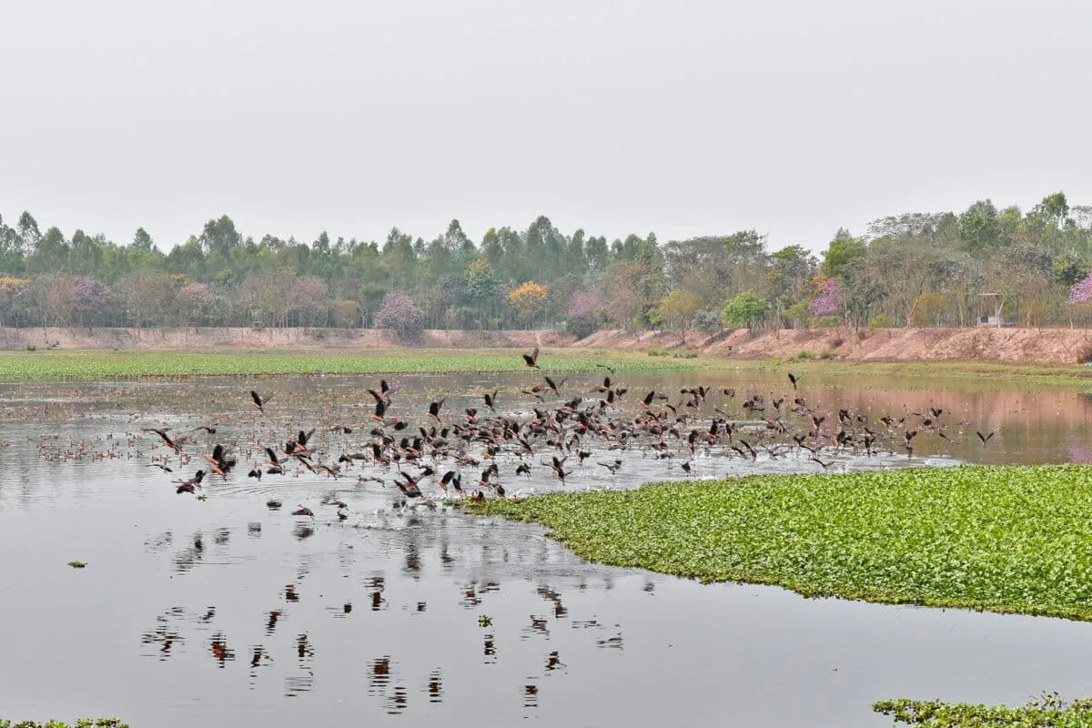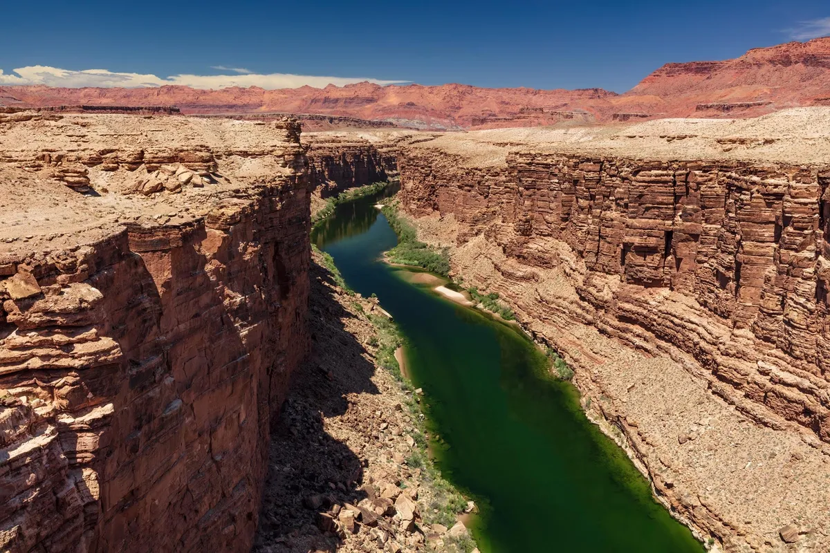
For over a century and a half, geologists have been scratching their heads over a rather inconvenient river: the Green River. This major tributary of the Colorado carved a deep canyon right through Utah's Uinta Mountains, which formed about 50 million years ago. The river, however, only decided on its current path a mere eight million years ago.
So, the big question was: how did a river cut through mountains that are four kilometers high instead of just flowing around them? Because, you know, rivers usually take the path of least resistance. Apparently, the Green River missed that memo.
Now, researchers from the UK and USA have offered up a solution that sounds like something out of a sci-fi movie: 'lithospheric dripping.' Yes, the Earth's crust, apparently, drips.
We're a new kind of news feed.
Regular news is designed to drain you. We're a non-profit built to restore you. Every story we publish is scored for impact, progress, and hope.
Start Your News DetoxThe Planet Drips, and Rivers Go Wild
Lithospheric dripping is essentially parts of the Earth's crust getting heavy, sinking, and then bouncing back up over millions of years. The theory goes that the Green River carved its path when the land surface temporarily dropped due to one of these drips forming beneath the region. This allowed the river to erode the exposed rock, creating the channel we see today, including the dramatic Canyon of Lodore.
Dr. Adam Smith from the University of Glasgow pointed out that this river merger wasn't just a geological party trick; it actually changed North America's continental divide. This, in turn, created new boundaries for wildlife and influenced their evolution. Which, if you think about it, is a pretty dramatic consequence for a geological plumbing issue.
So, what exactly is a lithospheric drip? Imagine heavy, mineral-rich material building up at the bottom of the Earth's crust. Eventually, it gets so heavy it just... sinks into the gooey mantle below. As it descends, it pulls the crust above it downwards, temporarily lowering parts of mountain ranges. Once the sinking mass breaks off and continues its journey, the surface above springs back up, leaving a distinctive 'bullseye' pattern of uplift.
Earth's CT Scan Reveals the Truth
To prove this wild theory, the researchers basically gave the Earth a CT scan. They used seismic imaging, which analyzes how earthquake waves travel through the planet, to peek beneath the surface. And what did they find?
About 200 kilometers below the surface, a cold, circular anomaly — 50 to 100 kilometers wide. This, they believe, is the detached part of the lithospheric drip. By estimating its sinking speed, they figure it separated between two and five million years ago. This timeline lines up perfectly with when the Green River got ambitious and carved its path.
The evidence didn't stop there. Modeling the surrounding river networks showed that tell-tale bullseye uplift pattern. Plus, the crust under the Uinta Mountains is several kilometers thinner than it should be for mountains of that height, supporting the idea that dense material was lost. When they crunched the numbers, the calculated surface rise after the drip matched an elevation change of just over 400 meters, exactly what the river network analysis suggested.
Dr. Smith hopes this research finally settles the 150-year debate, and perhaps more importantly, suggests that these dripping crusts might be the secret sauce behind many more geological mysteries than we ever imagined. The Earth, it seems, is far more dynamic — and a little stranger — than we give it credit for.