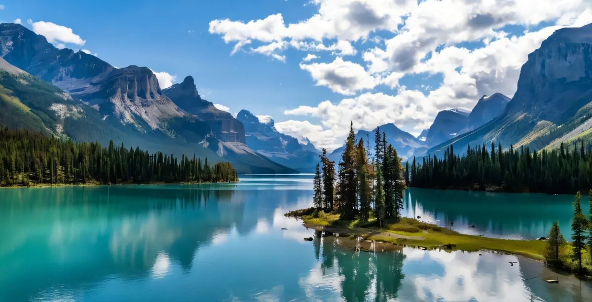
Canada's snowpack is telling a story that's hard to see until it's too late. Researchers at Concordia University have developed a new way to read it—and what they're finding is troubling: the snow that feeds rivers supplying water to most of Canada's population is quietly disappearing.
The technique, called snow water availability (SWA), uses satellite data and climate models to measure how much usable water is actually stored in snowpacks across Canada and Alaska. It's more precise than older methods because it captures the rapid shifts at the start and end of winter—the moments when a thaw can suddenly accelerate or a late storm can buy time.
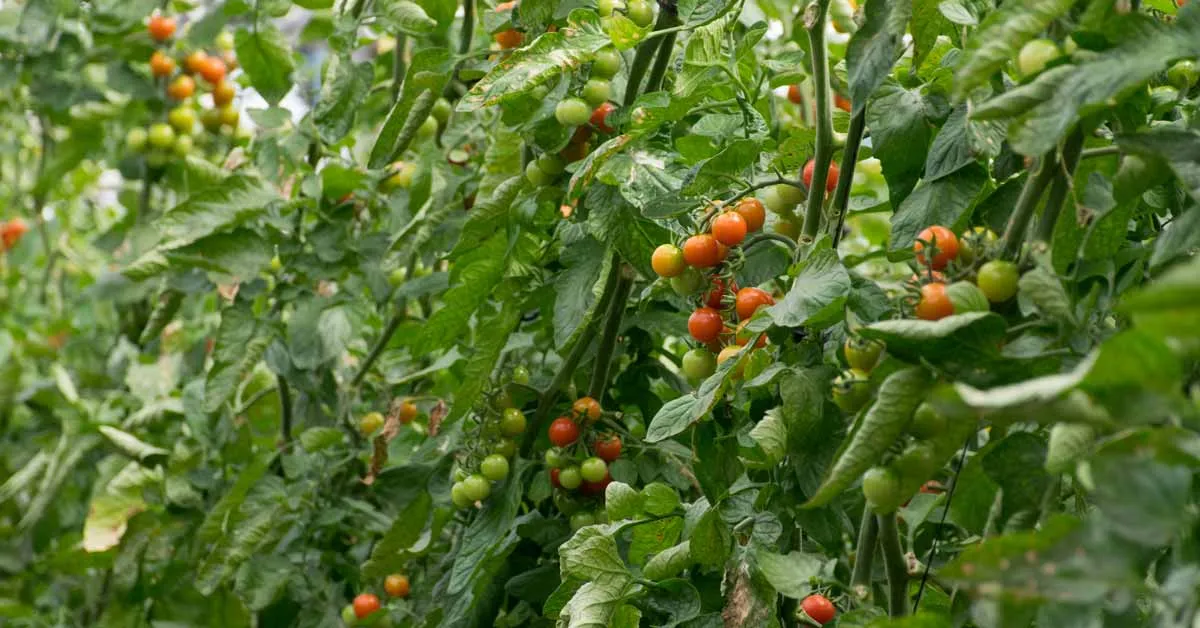
When researchers analyzed 18,000 grid cells across 4.5 million square kilometers, a stark pattern emerged. The Canadian Rockies—specifically the mid-elevation zones where major rivers are born—have seen sharp declines in snow depth. The Okanagan–Similkameen, Assiniboine–Red, and Saskatchewan River basins have been hit hardest. These three regions make up just 3% of Canada's land but contain 86% of its population.
We're a new kind of news feed.
Regular news is designed to drain you. We're a non-profit built to restore you. Every story we publish is scored for impact, progress, and hope.
Start Your News DetoxThe asymmetry problem
Here's where it gets complicated. While total snow water availability has actually increased across Canada, the gains are concentrated in the north, near the Arctic. That extra snow doesn't help the cities and farms in the south that depend on spring melt from the Rockies. A 3% drop in snow water in the populated south can affect water security for 26% of the land area containing 86% of the people.
This is what researcher Saman Nazemi calls a "creeping drought"—one that's easy to miss until water restrictions hit. Past droughts in southern Ontario, Quebec, and western Canada all followed this pattern: the warning signs were there in the snowpack, but they went unnoticed until the crisis arrived.
The new SWA method makes those warning signs visible. By tracking snow depth, density, and cover in near-real time, water managers now have a tool to spot trouble before reservoirs run dry. The findings were published in Communications Earth & Environment.
The next step is using this data to rethink how Canada manages its water. If the snow that sustains the majority of the population is declining, the infrastructure and policies built around historical snowfall patterns need to change.