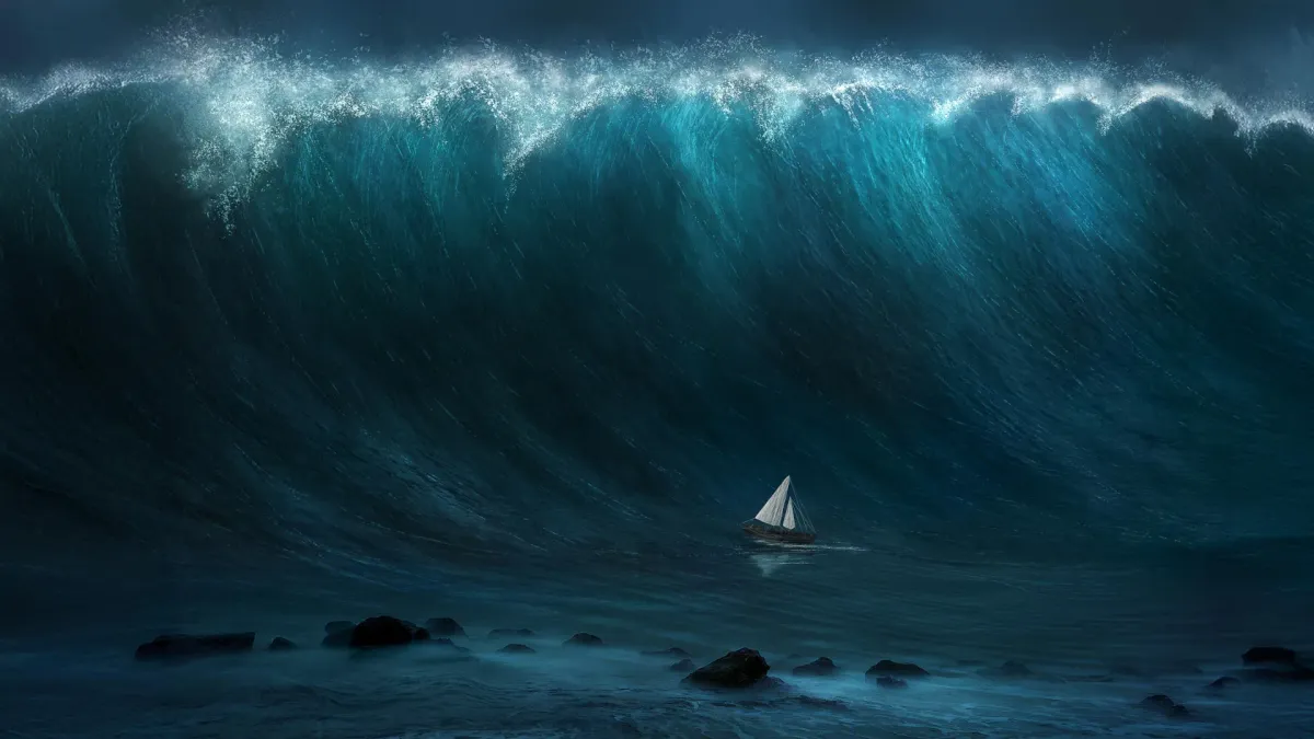
On July 29, a magnitude 8.8 earthquake ruptured beneath the Kuril-Kamchatka subduction zone in the North Pacific. What happened next—captured for the first time by a satellite designed to study lakes and rivers—is forcing scientists to rewrite how they think tsunamis travel.
The SWOT satellite, launched jointly by NASA and France in December 2022, wasn't built to track disasters. It was meant to map Earth's surface water: oceans, rivers, lakes. But when researchers at the University of Iceland pointed its instruments at the spreading tsunami, they saw something textbooks say shouldn't exist.
What the Satellite Revealed
Traditionally, scientists describe large tsunamis as "non-dispersive"—meaning they travel as a single, stable wave across the ocean, like a wall of water that doesn't break apart. The math supported this. The wavelength of giant tsunamis is so long compared to ocean depth that they should stay coherent, spreading their energy evenly as they cross thousands of kilometers.
We're a new kind of news feed.
Regular news is designed to drain you. We're a non-profit built to restore you. Every story we publish is scored for impact, progress, and hope.
Start Your News DetoxBut SWOT's high-resolution view—capturing a 120-kilometer-wide swath of ocean surface with unprecedented detail—showed something messier and more intricate. Instead of one clean wave, the satellite recorded a complex pattern of waves interacting, scattering, and modulating as they traveled. "I think of SWOT data as a new pair of glasses," said Angel Ruiz-Angulo, who led the analysis. "Before, with ocean buoys we could only see the tsunami at specific points. Now we can capture the whole picture."
When the team compared these real observations to computer models, the traditional non-dispersive models fell short. Models that included dispersion—the spreading and interaction of multiple waves—matched what SWOT actually saw. That gap between theory and reality matters. If trailing waves can modulate the main wave as it approaches a coast, existing tsunami forecasts might be missing crucial details about how dangerous the final wave will be.
Combining Data, Sharpening Answers
Ruiz-Angulo and his colleagues didn't stop at satellite images. They merged SWOT's bird's-eye view with measurements from DART buoys—deep-ocean sensors positioned along the tsunami's path. This combination revealed something else: the earthquake rupture extended about 400 kilometers south, roughly 100 kilometers farther than earlier models predicted.
This matters because the size and extent of an earthquake's rupture directly shapes how a tsunami forms and propagates. Since the 2011 Tohoku-oki earthquake in Japan killed over 15,000 people, researchers have recognized that tsunami data holds crucial information about earthquake mechanics. Yet integrating multiple data sources—satellite, buoy, seismic—into real-time forecasting remains uncommon. "It is really important we mix as many types of data as possible," said Diego Melgar, a co-author on the study.
The Kuril-Kamchatka subduction zone has produced some of the largest tsunamis on record. A magnitude 9.0 earthquake there in 1952 sparked the creation of the international tsunami warning system that has since protected countless lives. This 2025 event, though serious, caused no fatalities in part because that warning system worked.
Now, researchers hope their findings make a case for integrating satellite data into real-time forecasting. SWOT observations, combined with buoy networks and seismic sensors, could give coastal communities earlier and more accurate warnings—turning an accidental discovery into a tool that saves lives.