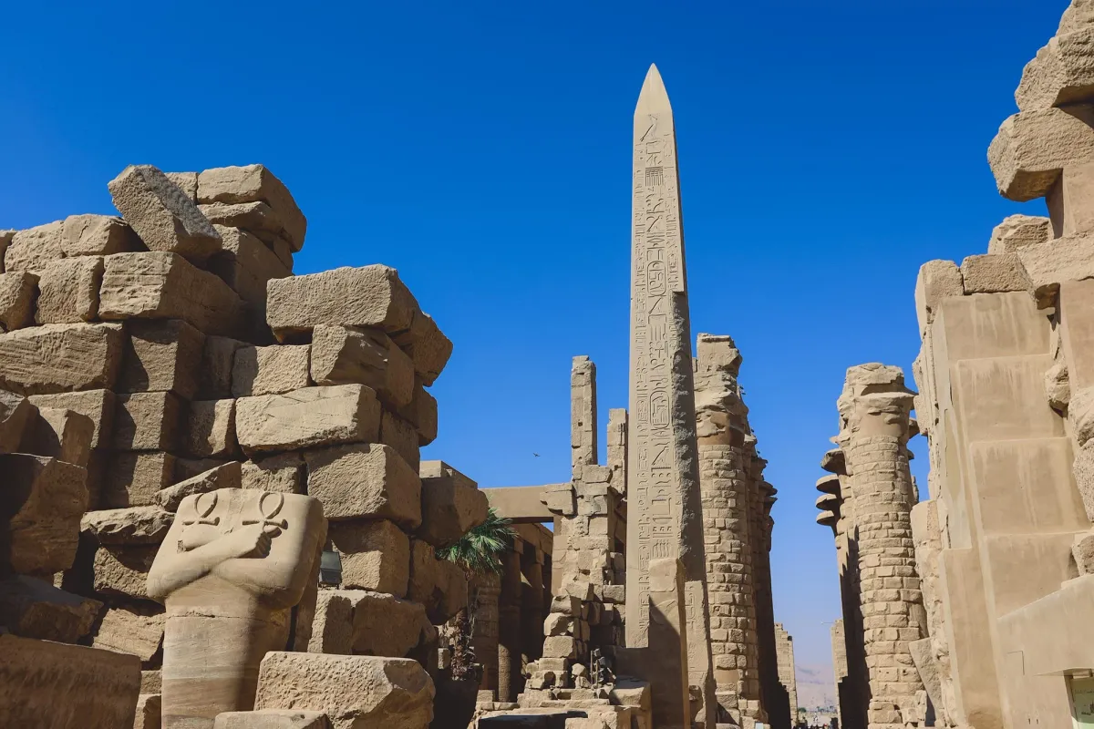
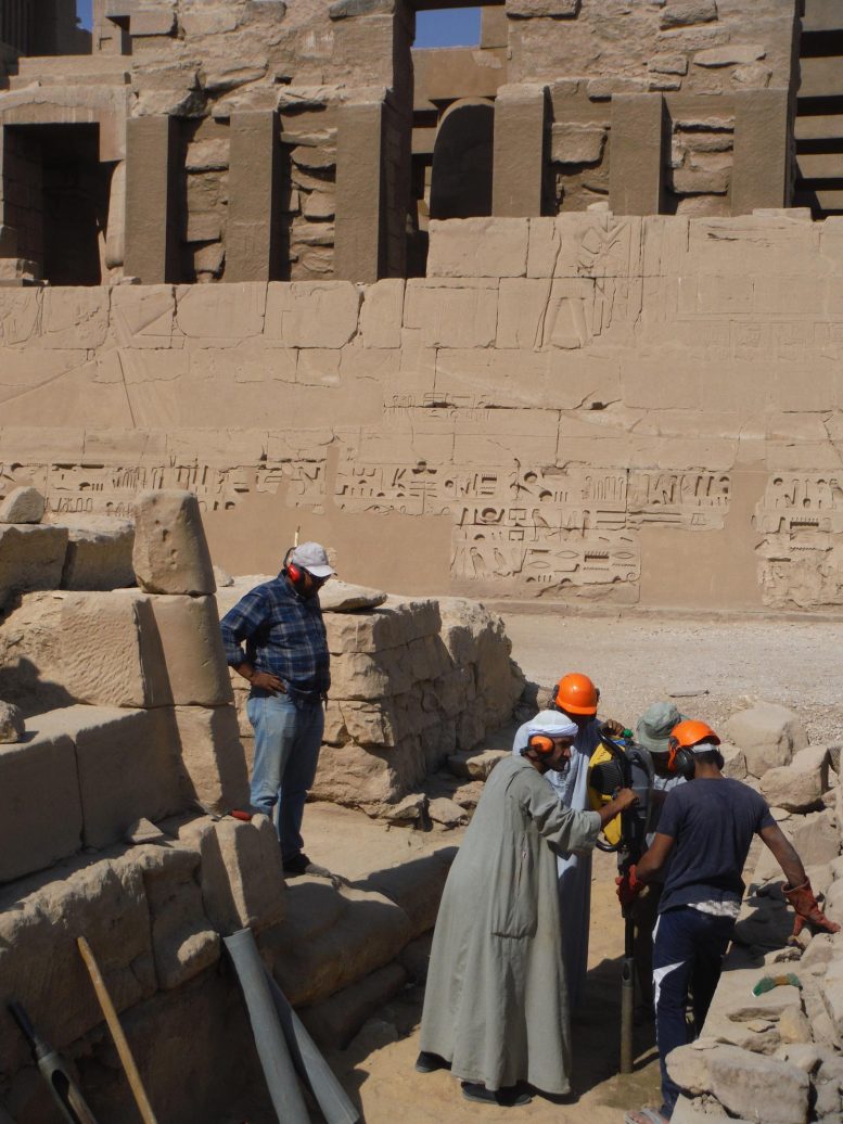
For thousands of years, Karnak Temple has stood as one of the ancient world's most monumental religious sites. Now, archaeologists have figured out why the ancient Egyptians chose this exact spot—and it turns out the landscape itself may have inspired their creation myths.
An international team led by Dr. Angus Graham of Uppsala University spent years analyzing sediment cores and pottery shards from the temple complex near Luxor. What they found was a hidden geography: before the temple was built, the area where Karnak now stands was an island, surrounded by flowing Nile channels on both sides.
How a River Created Sacred Ground
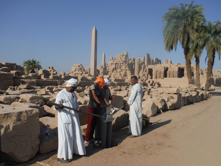
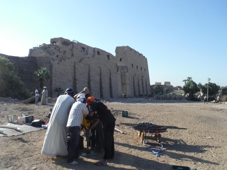
The researchers examined 61 sediment cores from inside and around the temple, combined with analysis of tens of thousands of ceramic fragments. The picture that emerged was precise: before around 2520 BCE, the Nile's floodwaters regularly swept across the area, making permanent settlement impossible. But as the river channels gradually shifted and moved farther apart over centuries, a raised mound of stable ground emerged. This elevated island, in what is now the south-east portion of the temple precinct, became the foundation for the earliest sustained occupation at Karnak, likely dating to the Old Kingdom around 2591–2152 BCE.
We're a new kind of news feed.
Regular news is designed to drain you. We're a non-profit built to restore you. Every story we publish is scored for impact, progress, and hope.
Start Your News DetoxThe ancient Egyptians didn't just build on this island by accident. The landscape itself seems to have held religious meaning. Egyptian creation texts describe the god of creation emerging as a mound of high ground rising from primordial waters—and Karnak sits on the only known elevated area in the region that was once surrounded by water. As the Nile's seasonal floods receded each year, the mound would have appeared to rise and expand from the retreating waters, visually echoing the very mythology the temple was built to honor.
One surprise emerged from the data: the eastern channel was well-defined and may have been larger than the western channel that earlier studies emphasized. This detail matters because it changes how we understand the island's formation and why it held such symbolic weight.
The research, published in the journal Antiquity in 2025, reveals something deeper than just ancient engineering. It shows how the ancient Egyptians didn't impose their beliefs onto the landscape—they recognized something in the land itself and built their most sacred site to honor it. As the team now expands their work across the wider Luxor floodplain, they're beginning to understand how waterways and shifting terrain shaped the entire religious heart of ancient Egypt.