Scientists in Antarctica stumbled onto a geological mystery while studying scattered pink granite boulders on dark volcanic peaks. Those surface rocks turned out to be breadcrumbs leading to something far larger: a hidden granite formation nearly the size of Wales, buried deep beneath Pine Island Glacier in West Antarctica.
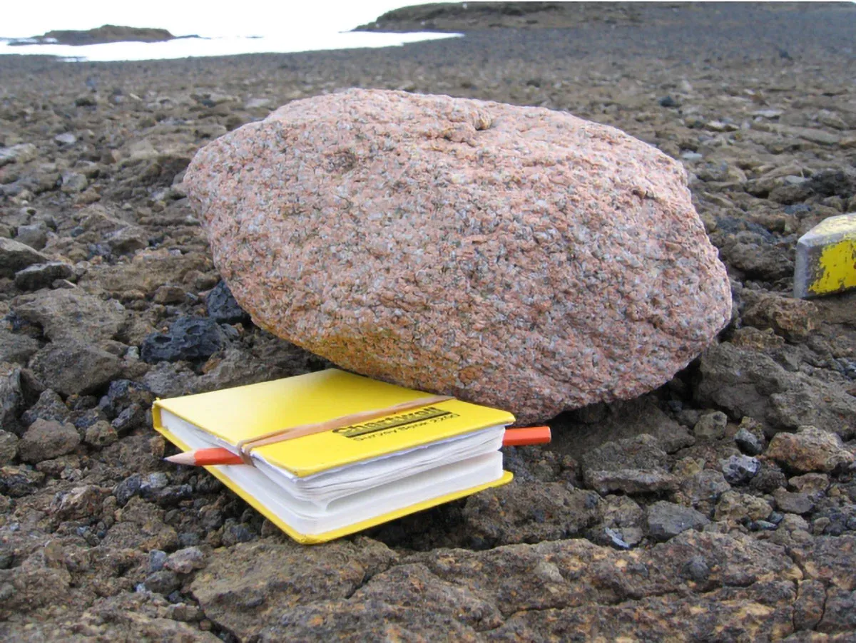
The discovery started simple. Researchers from the British Antarctic Survey noticed pink granite boulders scattered across the Hudson Mountains and wondered how they got there. By measuring radioactive decay in microscopic crystals, the team determined the rocks formed around 175 million years ago during the Jurassic period. But that only raised a bigger question: what was moving these boulders across the landscape.
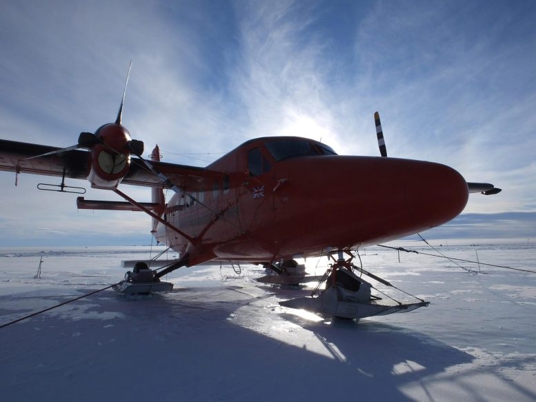
The answer came from above. Aircraft equipped with high-resolution gravity sensors flew over the region and detected an unusual signal beneath the ice. The signal matched exactly what scientists would expect from a massive granite body hidden below — a formation spanning nearly 100 kilometers wide and roughly 7 kilometers thick.
We're a new kind of news feed.
Regular news is designed to drain you. We're a non-profit built to restore you. Every story we publish is scored for impact, progress, and hope.
Start Your News DetoxSolving an ancient puzzle
Connecting those surface boulders to the concealed granite mass solved a long-standing geological riddle. During the last ice age, around 20,000 years ago, Antarctica's ice sheet was far thicker than today. It was powerful enough to tear rocks from its bed and carry them high into surrounding mountains, leaving behind these pink granite markers like a geological trail.
"It's remarkable that pink granite boulders spotted on the surface have led us to a hidden giant beneath the ice," said Dr. Tom Jordan, lead geophysicist at BAS. "By combining geological dating with gravity surveys, we've not only solved a mystery about where these rocks came from, but also uncovered new information about how the ice sheet flowed in the past."
That historical knowledge matters urgently now. Pine Island Glacier has experienced some of Antarctica's fastest ice loss in recent decades. Understanding how the ice flowed thousands of years ago helps scientists improve computer models that predict how it will behave as the climate warms. Those models are critical for forecasting sea level rise — information coastal communities worldwide depend on for planning.
Beneath the glacier, geology shapes everything. The rocks influence how ice slides over the bed and how meltwater drains beneath it. Every detail about that hidden landscape becomes part of the equation for projecting future ice loss.
"Boulders like these are a treasure trove of information about what lies deep beneath the ice sheet, far out of reach," said Dr. Joanne Johnson, a co-author and geologist at BAS. "By identifying their source, we have been able to piece together how they got to where they are today, giving us clues about how the West Antarctic Ice Sheet may change in future."
The study demonstrates how combining different sciences — in this case geology and geophysics — reveals hidden processes shaping our planet. As Antarctica continues to change, that kind of integrated understanding becomes increasingly valuable.