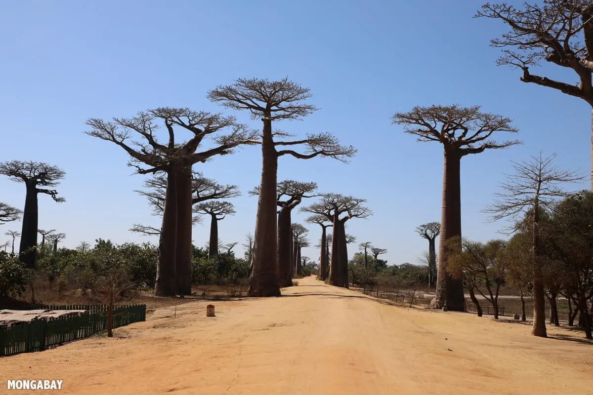
Forests are nature's carbon sponges, quietly soaking up the stuff that makes our planet feel a bit too much like a sauna. Reforesting damaged land is a brilliant idea, a global climate solution even. The only hitch? We've been surprisingly bad at figuring out exactly how much carbon these leafy giants are actually stashing away.
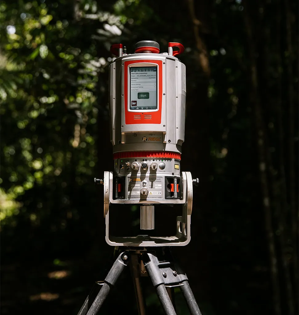
Enter LiDAR: ground-based laser scanning that sounds like something out of a sci-fi movie, but is actually poised to revolutionize how we measure reforestation efforts. A recent study in Ecological Solutions and Evidence out of Australia found that LiDAR significantly upped the accuracy of carbon estimates compared to older, more analog methods. Because apparently, even carbon accounting needs a glow-up.

LiDAR devices are basically tiny laser disco balls, firing out thousands of pulses that bounce back to create incredibly detailed 3D maps of an entire forest. We're talking every stem, every branch, the exact shape of the canopy – all captured in intricate detail. This helps researchers get a much, much better handle on how much carbon is actually locked away in the trees. Alexander W. Cheesman, a senior research fellow and co-author, calls the tech "transformative." Which, if you think about it, is both impressive and slightly terrifying if you're a tree trying to hide your carbon footprint.
We're a new kind of news feed.
Regular news is designed to drain you. We're a non-profit built to restore you. Every story we publish is scored for impact, progress, and hope.
Start Your News DetoxAustralia's High-Stakes Carbon Count
Australia, ever the innovator, uses something called the Full Carbon Accounting Model (FullCAM) to keep tabs on its carbon. This isn't just about what's visible above ground; it includes the carbon chilling in the soil and roots, too. FullCAM helps the country report its greenhouse gas emissions to the United Nations, because global bragging rights (or at least, accurate reporting) are important.
It also plays a key role in Australia's Carbon Credit Unit (ACCU) Scheme, which is essentially a marketplace for carbon offsets. The thing is, FullCAM doesn't actually measure carbon directly. Instead, it simulates how carbon moves through ecosystems. It's like having a really smart calculator guess how many cookies you ate based on the crumbs, instead of just, you know, counting the cookies. And while LiDAR promises a much clearer picture, the question of how these new, more precise measurements will integrate into existing, simulation-based systems is still hanging in the air. Because sometimes, even with lasers, the numbers can get a little fuzzy.