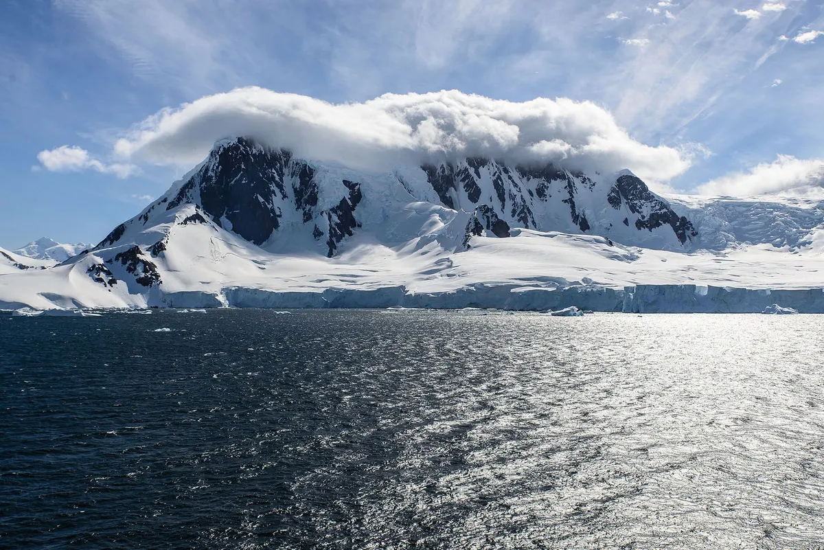
For decades, we've known more about the surface of Mars than what lies directly beneath Antarctica's ice sheet. That gap just narrowed significantly.
Researchers published a map last month in Science that reveals the entire landscape hidden under Antarctica's ice—thousands of previously unknown landforms, including over 30,000 hills and a channel roughly the distance between Washington, D.C., and New York City. The breakthrough comes not from drilling or traditional radar surveys, but from a clever combination of satellite imagery and physics.
How they saw the invisible
Previous mapping attempts relied on radar instruments dragged behind snowmobiles or suspended from planes. These tools emit radio waves that penetrate the ice, bounce off the bedrock below, and return to the surface—but they only trace specific paths, leaving gaps dozens of miles wide. The landscape in between remained a mystery.
We're a new kind of news feed.
Regular news is designed to drain you. We're a non-profit built to restore you. Every story we publish is scored for impact, progress, and hope.
Start Your News DetoxThe new approach works differently. The team, led by researchers at the University of Edinburgh, observed how Antarctica's ice actually moves across its surface using satellite data, then used physics simulations to work backward. Ice flows differently depending on what terrain sits beneath it—just as water in a river changes speed around hidden rocks. By calculating these flow patterns across the entire continent, they could estimate the hidden topography underneath.
Helen Ockenden, a geoscientist at the University of Grenoble Alpes, describes the shift in clarity: "It's like before, you had a grainy pixel film camera, and now you've got a properly zoomed-in digital image of what's really going on."
The team verified their simulations against existing radar maps, and the results held up. They've revealed a hidden landscape of remarkable complexity—steep-sided channels, vast valleys, and tens of thousands of previously unmapped hills.
Why this matters for sea levels
The bedrock beneath Antarctica's ice acts like friction, slowing how quickly the ice sheet flows toward the ocean. Understanding this terrain in detail is crucial for predicting how fast Antarctica's ice will melt and how much that will raise global sea levels. Current climate models rely on incomplete information about what's underneath. This map changes that.
The technique has limits—it can't capture features narrower than the ice is thick, and it provides less detail than direct radar surveys. But it's a first continuous map of the entire continent, filling in the blanks that previous methods left behind.
Stewart Jamieson, a glaciologist at Durham University not involved in the work, sees this as a turning point: "We've known that this sort of thing ought to be possible, but it's really about making that jump between possibility and producing this first product."
The map is already being used to refine sea-level rise predictions. More detailed maps of Antarctica's hidden landscape should follow.