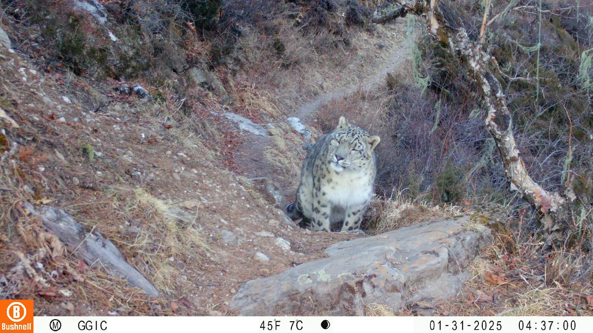
State boundaries can be iconic. Many were drawn by humans. But some of the most recognizable shapes were made by nature. Think of southeastern Louisiana, carved by the Mississippi River. Or the hook of Cape Cod, shaped by ocean waves.
Imagine the United States without state lines. Instead, see it through its natural features. Curators at the Smithsonian’s National Museum of Natural History often look at the nation this way. They draw maps that show mountains, watersheds, animal migrations, and ancient seas.
These maps show how nature connects everyone, going beyond state borders. This idea is key to the new exhibition, “From These Lands: Sharing Our Natural and Cultural Heritage.” It is now open at the museum to mark the 250th anniversary of the United States.
We're a new kind of news feed.
Regular news is designed to drain you. We're a non-profit built to restore you. Every story we publish is scored for impact, progress, and hope.
Start Your News DetoxThe exhibition uses items from the museum’s collections. It explores these natural and cultural patterns across the country.
One Country, Many Pine Cones
Pine cones are easy to miss. When walking in the woods, you see the forest and trees, but often not the cones at your feet. For many, a pine cone is just a pine cone.
But if you look closely, small differences in cones offer clues. They tell about the trees that made them and where those trees live.
The United States has 43 native pine species. This is nearly one-third of the world’s pine tree diversity. They grow in very different climates, terrains, and biomes. A pine cone can show you this concept. Soils, fire, rain, birds, and rodents all helped shape the tree that made it.
For example, sand pine cones can hold seeds for years. They release them only when heat from low-intensity fires melts their resin. These fire-shaped landscapes are part of the temperate evergreen forests in the southeastern U.S.
On the West Coast, the Coulter pine makes cones over 1.5 feet long and up to eight pounds. This large size helps its seeds survive fires. Small birds and mammals then spread them into new areas in Southern California’s Mediterranean Scrub.
A pine cone comes from one tree in one place. But its shape shows many environmental conditions. Pine cones offer a unique way to see the different biomes in the United States.

An Ancient Ocean in the Middle of the Country
The land beneath your feet can be millions of years old. It has not always been dry. During the late Mesozoic Era, when dinosaurs lived, a warm, shallow inland sea covered states from North Dakota to Texas.
This Western Interior Seaway left behind many rocks and sediments. You can see them today throughout the Great Plains and Badlands. The sea was full of life, and its rocks are full of fossils.

Familiar creatures lived on this ancient seafloor, like clams, snails, and sea stars. But in the waters above swam ammonites. These coiled, shelled relatives of squid and octopuses were common predators. They hunted alongside fish, turtles, sharks, and plesiosaurs. Ammonites used chambers in their shells to control buoyancy, much like modern nautilus.
Ammonite fossils show that much of the central U.S. was once an ancient ocean. They also remind us that today’s landscapes are just the latest version. They have been reshaped repeatedly by geologic time.

Shorebirds and Horseshoe Crabs
Animals move. Some travel short distances with the seasons. Others travel thousands of miles, crossing states, countries, and oceans. Animal migration routes might look messy on a map. But birds, whales, and turtles follow these paths for specific reasons.

Timing is crucial for migration. The ruddy turnstone shorebird migrates thousands of miles each year to its Arctic breeding grounds. It makes a vital stop in Delaware Bay. These East Coast migrants time their layover with horseshoe crabs. The crabs come ashore to lay millions of nutrient-rich eggs on beaches. The turnstones eat these eggs before continuing north.
This is a unique connection between an ancient marine animal and a tired shorebird. A single bay brings them together. It shows how many migration routes depend on key moments and places.

Salamander Country
Topography is more than just scenic views. Flat coastal plains, ridges, valleys, and stream-cut mountainsides all shape where animals can live. They also affect how biodiversity grows.
The rugged Appalachian Mountains create cool, wet forests, shaded hollows, caves, ponds, and streams. These habitats differ in elevation, temperature, moisture, and water flow. Salamanders thrive here. More salamander species live in the Appalachian Mountains than anywhere else in the world. It feels like every other rock you turn over hides another species.

The southern gray-cheeked, red-cheeked, and red-legged Plethodon salamanders were once thought to be variations of the same species. But these salamanders live at different elevations in various mountain ranges. Genetic testing confirmed each was its own species. Topography and changing climates separated these populations. This allowed each to evolve into distinct species.

Following the American Shad
Chesapeake Bay is the largest estuary in the U.S. Its watershed connects rivers and drainage basins across six states and Washington D.C. It is home to over 3,600 species, including oysters and blue crabs. One fish, the American shad, has become deeply linked with the lives and cultures of many people around the bay.

The American shad spends most of its adult life in the Atlantic Ocean. But it returns to the freshwater rivers in the upper Chesapeake Bay to spawn. For over 12,000 years, this herring’s spring migration has been part of the Pamunkey Indian Tribe’s diet and culture.
From 1918 to 2019, the tribe ran a hatchery to help declining herring populations. The Pamunkey Tribe’s fishing rights date back to their 1677 treaty with the British Crown. Today, only the Pamunkey and other Virginia tribes can legally fish for shad in this region.
This single fish, moving between salt and freshwater, has shaped centuries of diet, law, culture, and stewardship. It highlights the many connections between nature and culture.
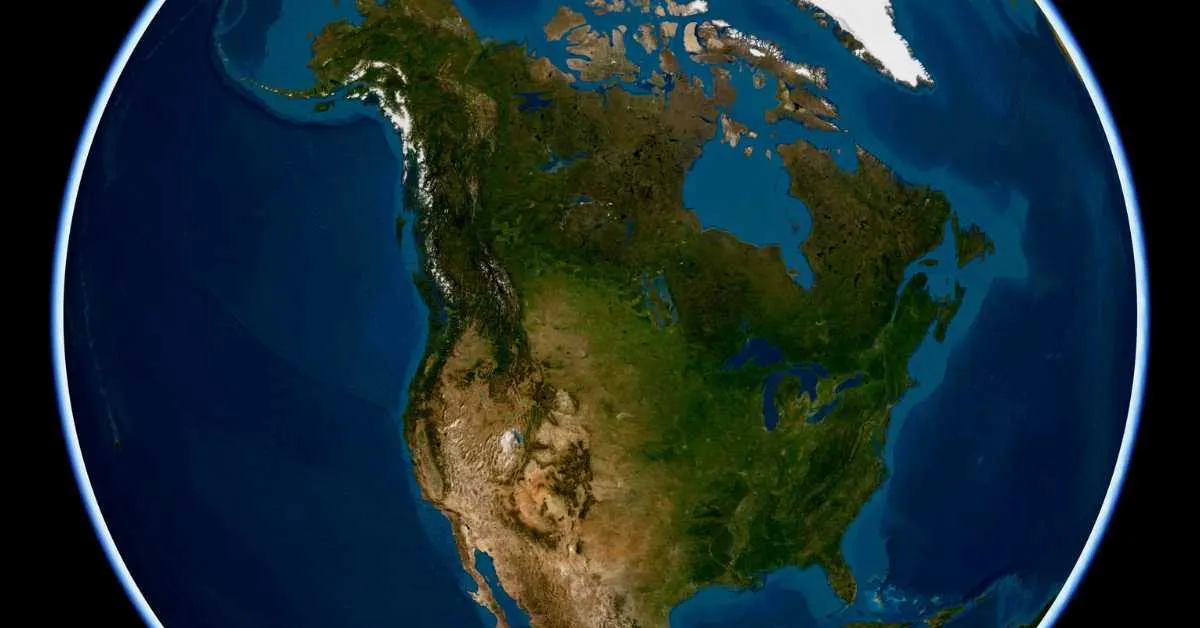
Different Ways to Map the Country
Pine cones, ammonites, shorebirds, salamanders, and shad tell more than individual stories. Together, they show older and larger patterns. These include varied forests, vanished seas, seasonal migrations, mountain habitats, and rivers full of life.
State lines are one way to picture the U.S. But natural history offers another. It shows the ancient and living connections that run across the landscape.
Deep Dive & References: From These Lands: Sharing Our Natural and Cultural Heritage - Smithsonian National Museum of Natural History