
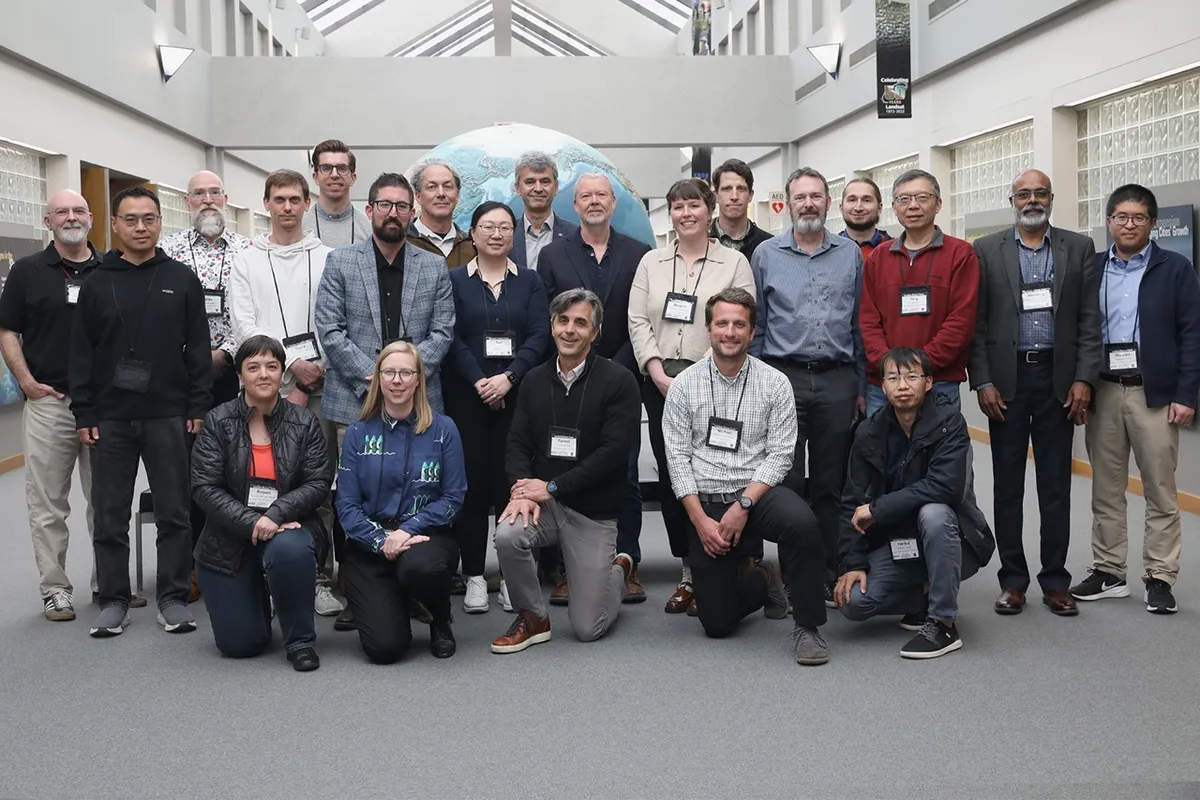
The Landsat Science Team — the folks who keep an eye on our planet from space — just wrapped their first in-person pow-wow. From May 5th to 7th, they gathered at the Earth Resources Observation and Science (EROS) Center in South Dakota, because apparently, that's where you go to talk about the future of Earth.
This wasn't just a coffee break. It was a three-day deep dive into the next five years of the Landsat program, co-moderated by Chris Neigh, the project scientist for Landsat 8, 9, and 10. Think of it as a strategic planning session, but with more satellite data and fewer trust falls. They discussed everything from the upcoming Landsat 10 (yes, there's a 10) to how they're harmonizing data with other international satellites.
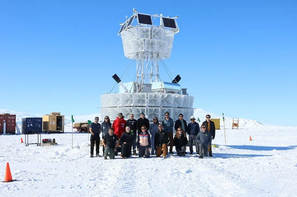
Because, as it turns out, these satellites are doing more than just taking pretty pictures. Landsat data is crucial for mapping snow, monitoring water quality, tracking agriculture, and even keeping tabs on volcanoes. Which, if you think about it, is both impressive and slightly terrifying. Someone's watching the lava.
We're a new kind of news feed.
Regular news is designed to drain you. We're a non-profit built to restore you. Every story we publish is scored for impact, progress, and hope.
Start Your News DetoxThe Wishlist for Future Missions
The real magic happened in the breakout sessions. Scientists huddled up and churned out a list of recommendations that will basically serve as a roadmap for how future Earth-gazing missions will process their data. Because when you're dealing with space, precision is key. And apparently, so is knowing exactly what to do with a pixel.
The Nitty-Gritty Details
Surface Reflectance: The experts here want better cloud masking (because clouds are always in the way) and more accurate corrections for things like topography. Basically, they want to see the ground, not just what's floating above it.
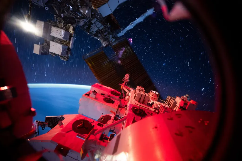
Temperature & Emissivity: These folks are all about consistency. They want to make sure temperature readings are uniform over time, even suggesting more testing for volcano studies. Because if you're going to monitor a fiery mountain, you want the data to be spot-on.
Aquatic Reflectance: This group raised an eyebrow at Landsat 10's planned 18-day repeat cycle, arguing it's too slow to catch rapidly changing events like harmful algal blooms. They want more investment in tools to validate inland water data, because those algae aren't waiting around for a satellite to pass by.
Projections, Tiling, and the Pixel: This one sounds like a board game, but it's serious business. They approved a new pixel grid plan but recommended more analysis to reduce errors and manage storage costs. Because even in space, storage isn't free. They even suggested sticking with the old method if these complex grid issues can't be sorted out. No need to fix what isn't broken, especially when it comes to space pixels.
These recommendations aren't just academic exercises; they're the blueprint for ensuring scientists around the globe continue to receive top-tier Earth observation data. Which means we'll all keep getting those crucial insights into our ever-changing planet, right through the end of the decade. Let that satisfying number sink in.