
Researchers at the University of Barcelona have created a new online tool. It helps people find out where any spot on Earth was located millions of years ago. This tool is called the Paleocoordinates Calculator (PACA).
PACA helps scientists, teachers, and the public understand Earth's ancient geography. It does this without needing special computer skills.
Making Ancient Maps Easier
When a fossil is found, its current location is known. But Earth's landmasses have moved a lot over millions of years due to shifting tectonic plates. Finding a fossil's exact ancient position used to be hard. It often required complex software and coding knowledge.
We're a new kind of news feed.
Regular news is designed to drain you. We're a non-profit built to restore you. Every story we publish is scored for impact, progress, and hope.
Start Your News DetoxPACA changes this by offering an easy-to-use website. Users can upload a file with modern coordinates and the age of a fossil. The tool then quickly provides the ancient coordinates.
Professor Antonio Monleón-Getino, who leads the BIOST3 Research Group, explained that the tool removes technical barriers. He noted that it gives exact paleocoordinates in seconds.
The researchers made PACA's code public. This follows open science principles. It means others can check and use the tool, making Earth science research more transparent.
Understanding Earth's Past Movements
PACA uses the R package palaeoverse, which connects to the GPlates web service. It can compare data using up to five different global plate models. These models are widely used by scientists.
Noa Scholz-Murcia, the lead author, explained that PACA also shows how much these models differ. It measures things like the range of ancient latitudes and the distance between model predictions. This helps researchers understand the uncertainty in tectonic plate movements for a specific area.
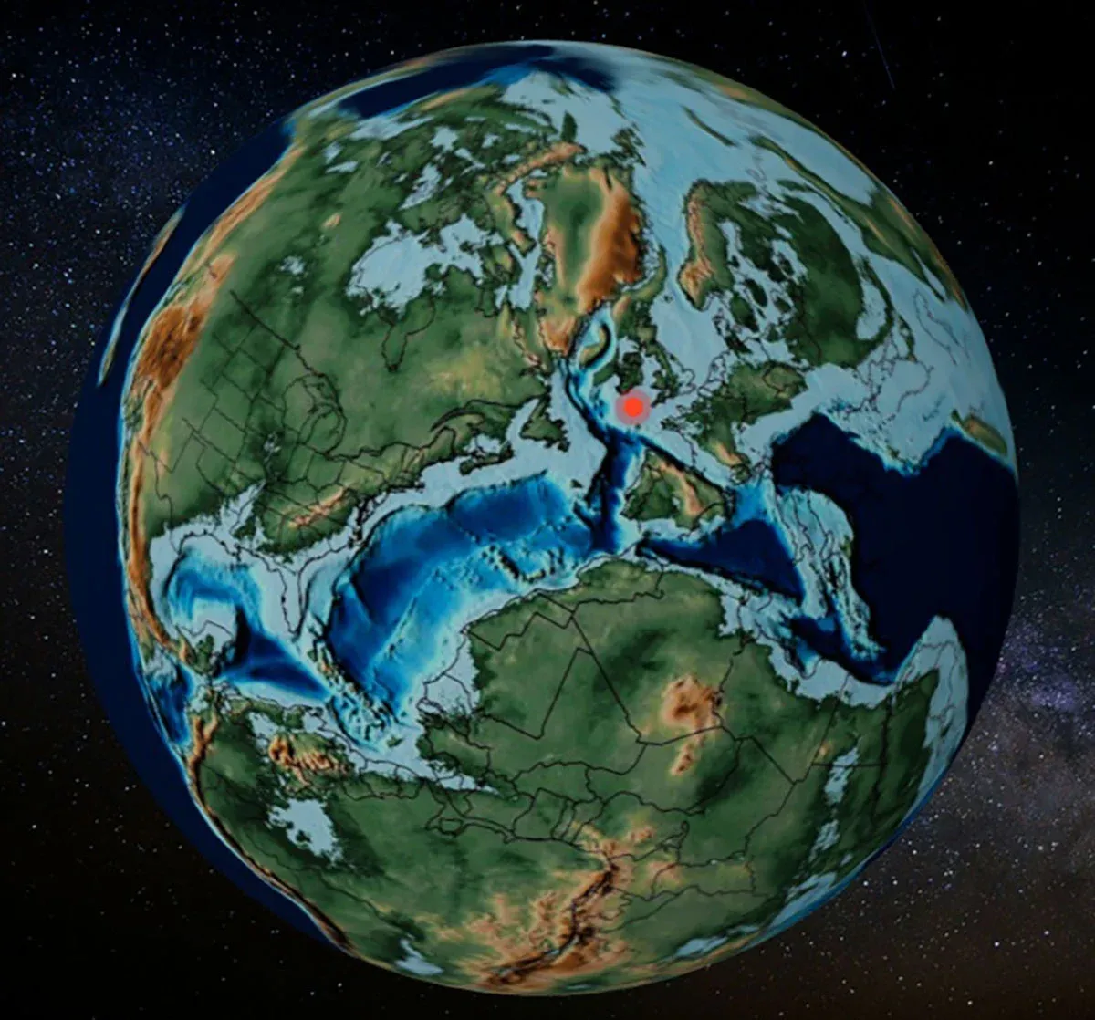
Users can export data for analysis. They can also see the reconstructed locations on an interactive 3D map. These maps come from the PALEOMAP Project, which shows ancient geography adapted to geological time.
The team confirmed PACA's accuracy. They tested it with 142 locations worldwide. The results were almost identical to those from traditional methods. The tool had an average error of less than 17 meters, which is very small on a global scale.
PACA was developed as part of a project called "Cretaceous Resin Interval." This project studies the large amounts of resin produced during the Cretaceous period, which formed many amber fossils.
Deep Dive & References
A user-friendly online tool for paleocoordinate calculation and 3D visualization - Scientific Reports, 2026